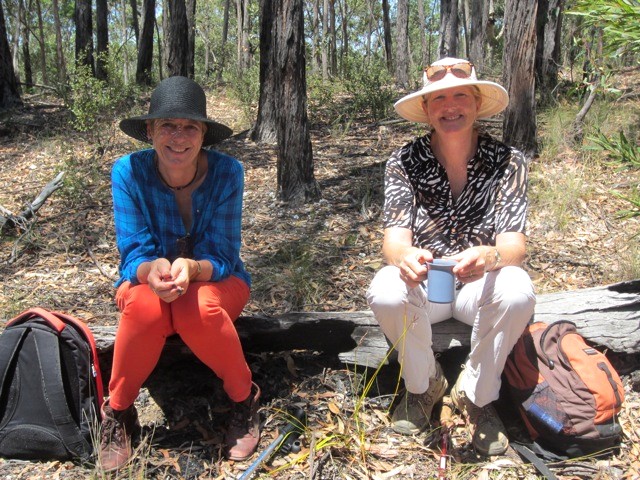
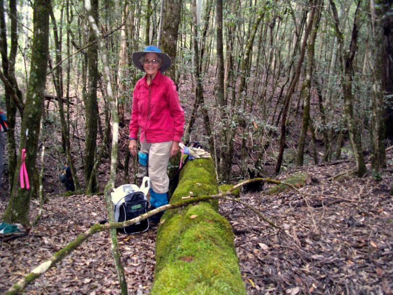
Fourth and Last Quarter 2013. See below for
Walk Reports and Photos
Walk Reports and Photos for Spring 2013. Click on walk headings below, or simply scroll down the page.
First Aid Course, Wednesday 18 December 2013
Christmas Party, Sunday 8 December 2013
Murramarang National Park Beaches and Headlands, Wednesday 4 December 2013
Fire Hut and T Ridge Roads, Sunday 1 December 2013
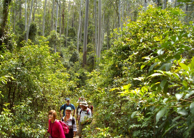
Pedro Point to Congo Creek and Pedro Swamp, Thursday 28 November 2013
Quartpot Creek Road West Area, Saturday 23 November 2013
River to Ridge in the Nelligen Area, Wednesday 20 November 2013
Benandarah Gullies and Forest, Sunday 17 November 2013
Malua Bay to Denhams Beach - Headlands and Beaches, Thursday 14 November 2013
Billy's Hut from Lyons Road, Saturday 9 November 2013
Woodleigh Fire Trail, Saturday 9 November 2013
Little Dromedary Mountain, Wednesday 6 November 2013
Long and Maloneys Beaches via Murramarang Forests, Sunday 3 November 2013
Benandarah State Forest, Thursday 31 October 2013
Kelly's Mine, Saturday 26 October 2013
Gorge-ous Tarouga, Wednesday 23 October 2013
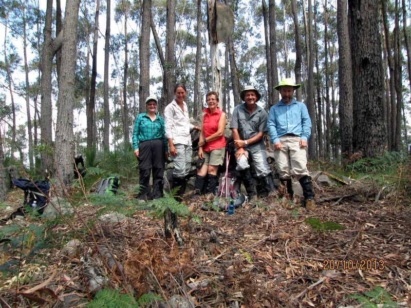
Wamban Mountain GPS Historic Search, Sunday 20 October 2013
Cullendulla Nature Reserve, Thursday 17 October 2013
Bendethera Camp, Wednesday 16 - Saturday 19 October 2013
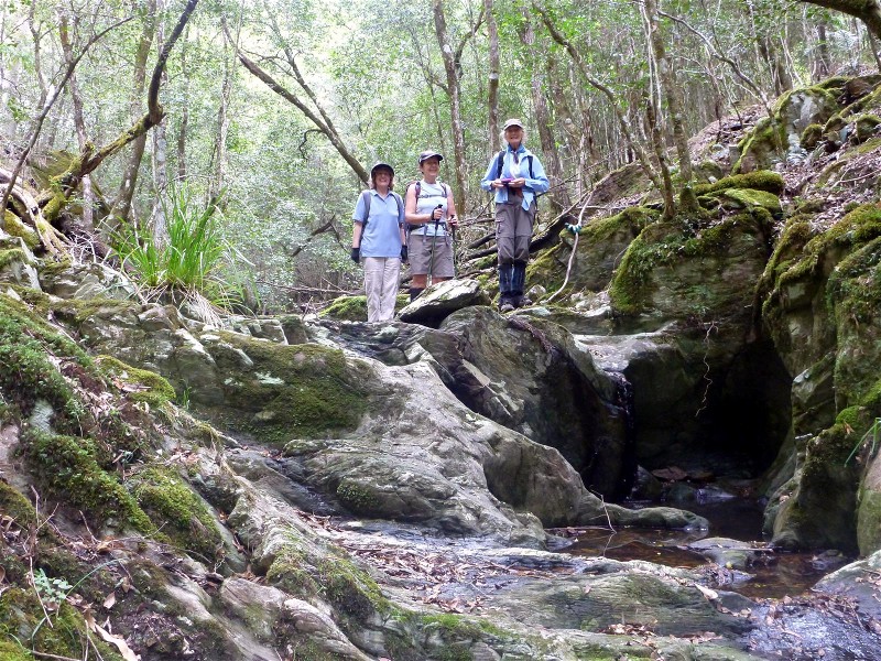
Currowan Creek and Tributary via Cascade Ravine, Saturday 12 October 2013
Ryans Creek - Three Crossings, Wednesday 9 October 2013
Mines and Shafts in Currowan, including Black Diamond Mine, Sunday 6 October 2013
Spring Creek Fire Trail to View Rock Orchids and Waterfall, Thursday 3 October 2013
First Aid Course
Wednesday 18 December 2013
17 members attended the 2013 First Aid Course conducted by First Aid Trainers from the Rural Fire Service at their Mogo Training Centre.
23 members attended the 2012 First Aid Course, so in all we have trained 40 members
in first aid over 2 years, fully subsidised by our $2,400 grant from the NSW Department of Sport
and Recreation.
Karen M
Christmas Party
Sunday 8 December 2013
76 members attended this year's Christmas Party held at the Oaks Ranch Country Club near Mossy Point.
It was a western-themed affair and cowboy boots and hats were the order of the day.
Karen M
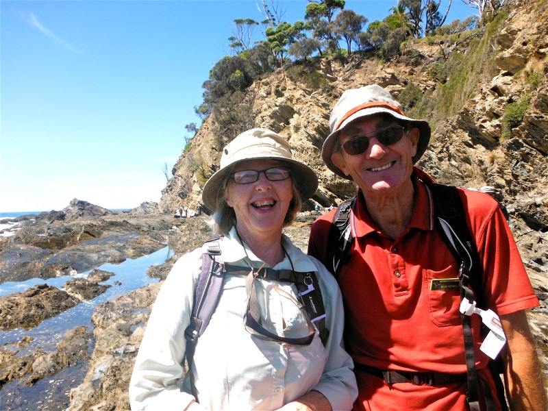
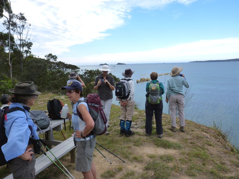
Murramarang National Park Beaches and Headlands
Wednesday 4 December 2013
No report received
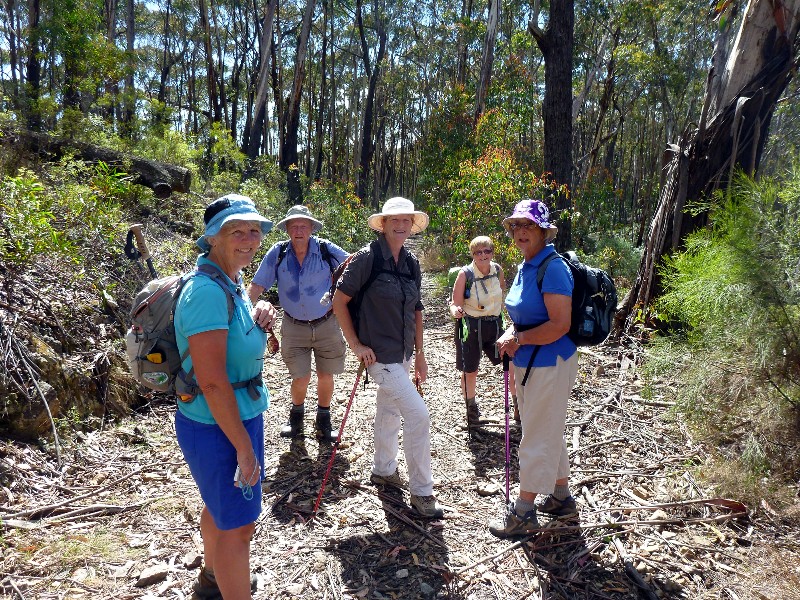
Fire Hut and T Ridge Roads
Sunday 1 December 2013
Charles, Robyn, Val and I set off about 9.30am. We
walked up a fairly steep hill on a good track and then stopped at the
junction of Bucks, Dangerboard and Dam Roads for morning tea. There were
lots of birds in the area. Lots of varieties of trees and cabbage palms.
We walked on along Dam Road and T Ridge Road to the electricity
easement and then back to the cars. We were back just before midday and,
because of the flies, decided to end the walk and go home for lunch.
Overall, a very good walk but if done again, could start later so could have
lunch towards the end.
Judith
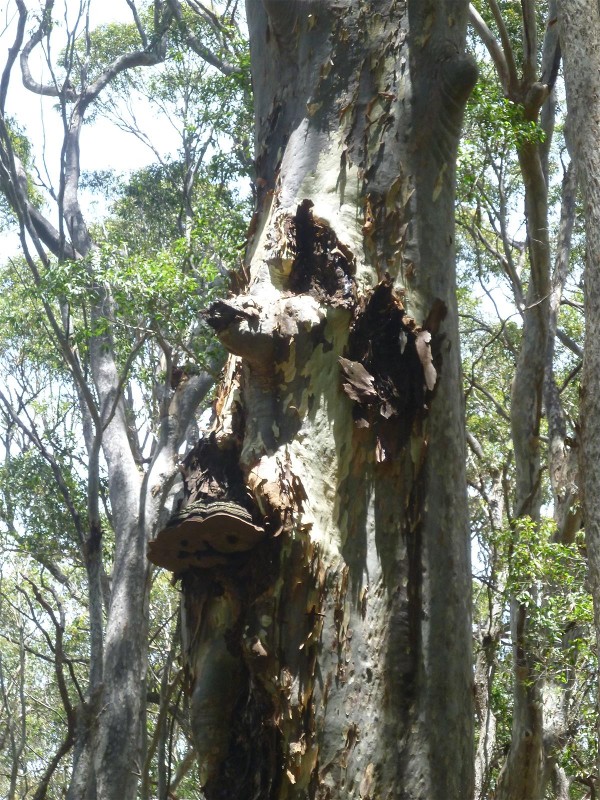
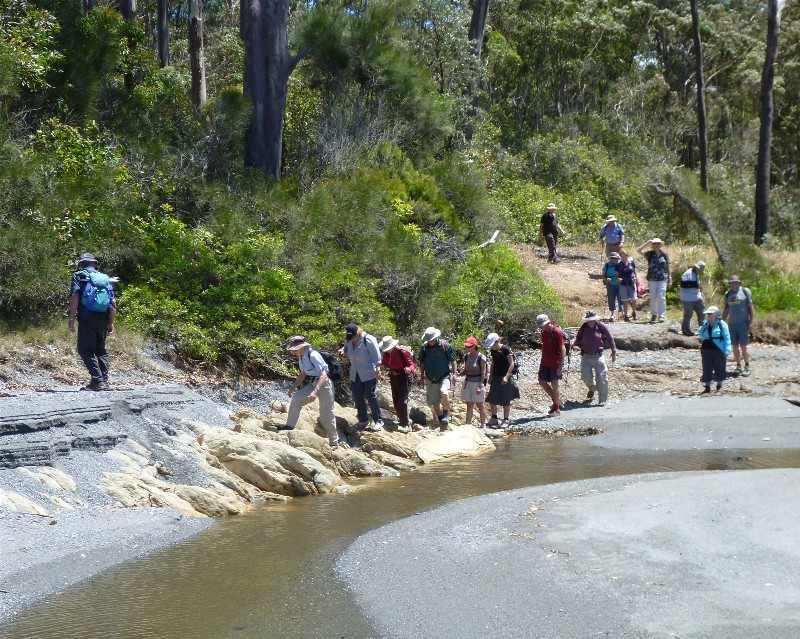
Pedro Point to Congo Creek and Pedro Swamp
Thursday 28 November 2013
 |
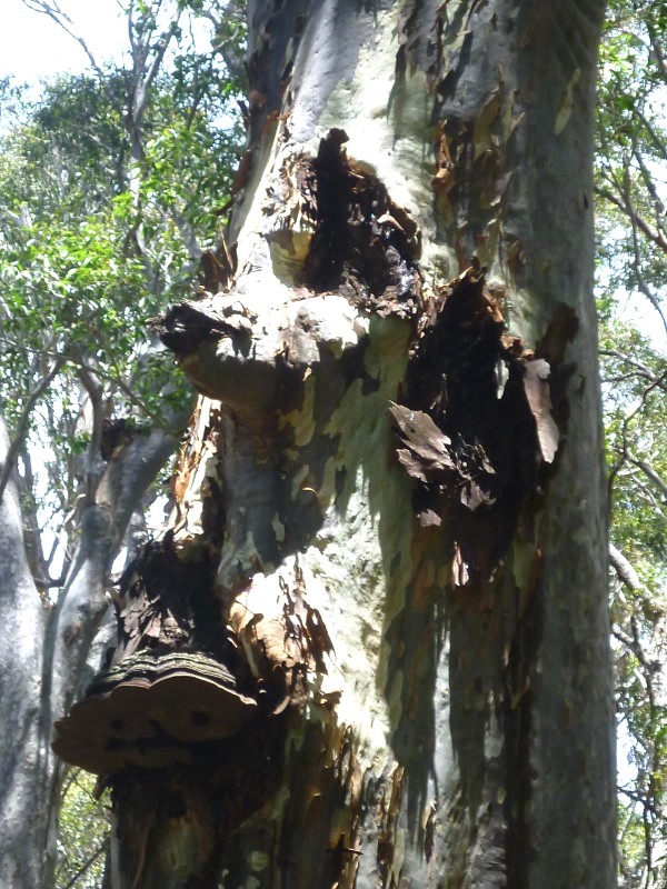 |
| The Ent of Pedro Point Photo by Bob T Click on thumbnail to enlarge photo |
Tree face Photo by Bob T Click on thumbnail to enlarge photo |
New Leader Elaine and four other members enjoyed the open, park-like casuarina forest behind the dunes from Pedro Point south to halfway along the beach, where we emerged onto an old track above the beach.
While following this track we found the footprints of many animals and birds, including rabbits, foxes and wallabies, but also ghost crabs, lizards and smaller mammals, and the tiny marks of a hopping mouse. The bird tracks were mostly of crows and seagulls, but also large ones of herons. The tracks were so fresh that there must be a lot of traffic there at night and early morning.
After morning tea by Congo Creek we enjoyed a lovely stroll thru the forests upstream and back toward Pedro Point, then into some dampland scrub, emerging by the north arm of Pedro Swamp with water views for lunch.
We finished by walking through open spotted gum forest, where the trees were
shedding great quantities of bark as they swelled with the recent rains, and the
feature here was an "ent", standing guard and watching all with a stern eye (see photo).
A very pleasant walk, completed by our new leader without loss of direction or life.
Bob T
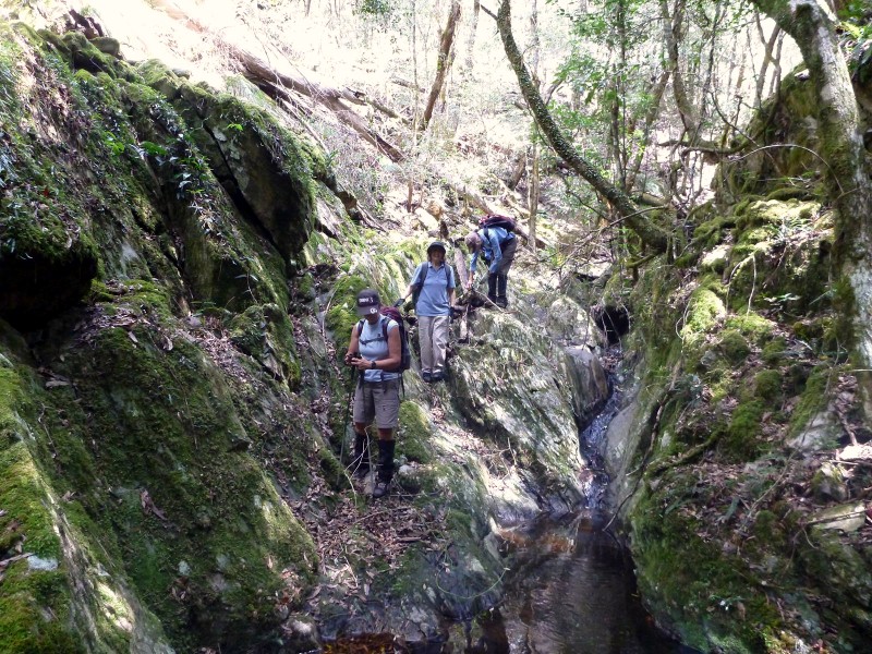
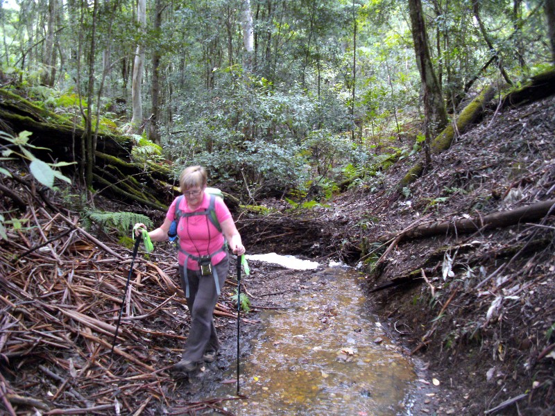
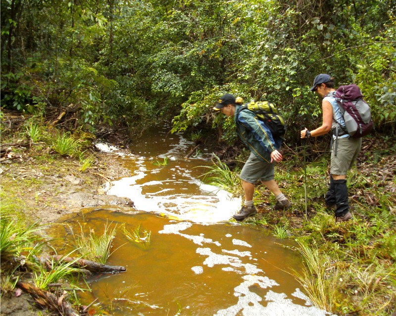
Quartpot Creek Road West Area
Saturday 23 November 2013
 |
 |
 |
| Blue Birds, Heather, Val, Elaine and Glenn Photo by Bob T Click on thumbnail to enlarge photo |
In the creek Photo by Bob T Click on thumbnail to enlarge photo |
Mossy ravine Photo by Bob T Click on thumbnail to enlarge photo |
Nobody would believe the fun Bob had with the four blue birds.
Lovely creek crossings, great riverine forest, many songbirds and perfect
weather.
Rock hopping and log walking made it interesting, and 3 trail-bike riders
showed the wild way to take deep crossings.
We found some leeches and had a little lie down at lunch time amongst many
fruiting rose woods, and attracted more leeches. Elaine was the magnet
for the day.
Then we trundled down to the nearly dry creek, whoops, beautiful ravine, the
highlight so far.
Rock orchids and moss forests over logs and rocks were green and lush.
Little rivulets were sculptured through the shale bed.
Cascades of rapier sedge and impossibly tangled and twisted water vines
surrounded us.
Beeautiful everywhere we looked, cool and refreshed we then went find our
walking sticks. Bob got brownie points for finding them again.
Walking along Quartpot Creek the yellow tailed black cockatoo screeched our
arrival, bird-spotting was popular, and the cicadas lifted the background
forward.
On the way back there was none of the dry feet pussyfooting, it was straight
through the 11 crossings and all enjoyed the cool feet.
Heather
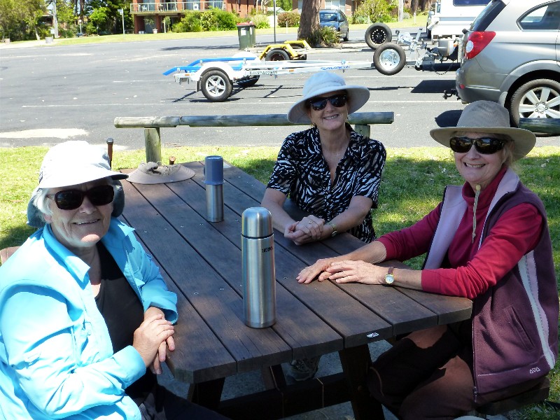
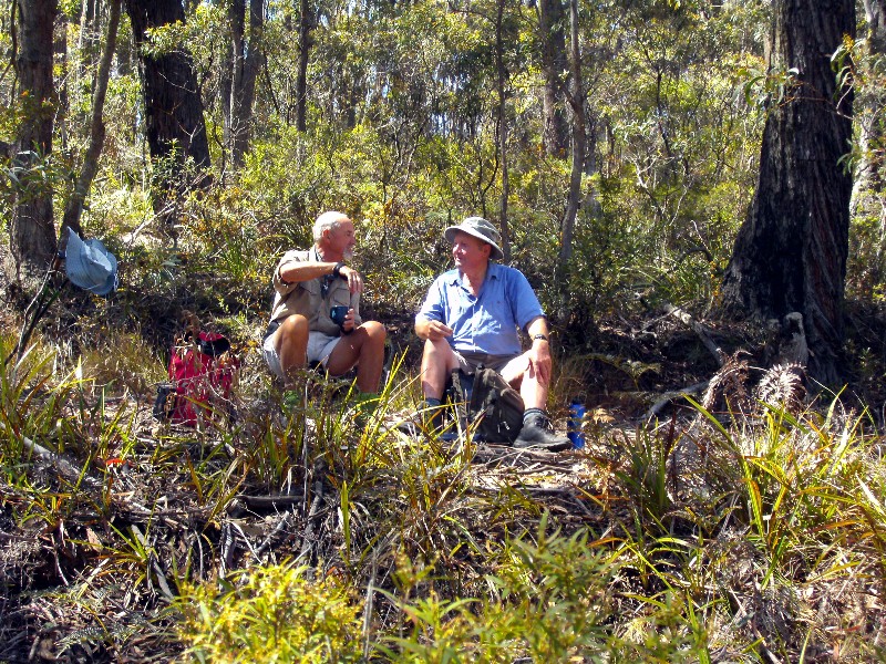
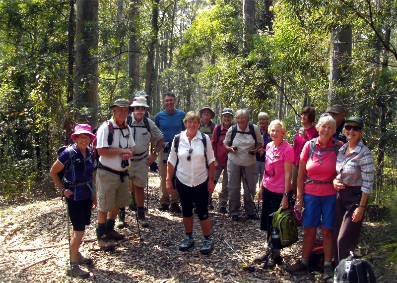
River to Ridge in the Nelligen Area
Wednesday 20 November 2013
 |
| Tricia and Karen Photo by Mary Click on thumbnail to enlarge photo |
A group of some 10 bushwalkers travelled to the Nelligen area to walk the old favourite “River to Ridge” walk. The walk is a circuit of old fire trails from River Road on the banks of the Clyde River to the ridge along Black Flat Road. This time however leaders, Mary and Stan, decided to do the walk in the reverse direction to that previously, providing an added challenge to the group with a long steep uphill climb in the early part of the walk.
Great views were available across the Clyde River on sections of the walk.
Coffee and milkshakes at the Nelligen coffee shop were an enjoyable conclusion.
Geoff
Benandarah Gullies and Forest
Saturday 17 November 2013
 |
 |
 |
| Betty Photo by Karen M Click on thumbnail to enlarge photo |
Kay Photo by Karen M Click on thumbnail to enlarge photo |
Lin and Glenn Photo by Karen M Click on thumbnail to enlarge photo |
12 bushwalkers led by Betty started a 13km circuit at Gravel Pit Road, crossing the highway at the old Benanadarah rest area, and then looping our way through forest and over creeks, sometimes on tracks, and sometimes not.
After all the recent rain, the little creeks in the area were running again, and there was plenty of marshy and muddy ground to negotiate, which made a welcome change from the dry and dusty conditions of late.
We also also discovered from Ian that the walk crisscrossed the route of an old horse drawn tram
line, which carried timber from the forest to several sawmills and then onto Cullendulla
Creek for loading onto barges, and then onloading onto steamers.
Karen M
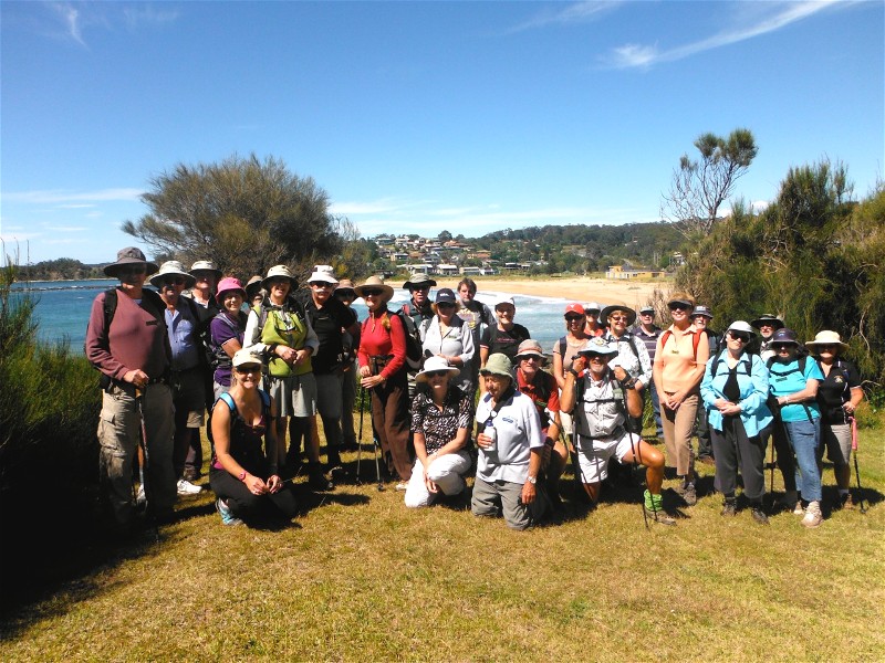
Malua Bay to Denhams Beach - Headlands and Beaches
Thursday 14 November 2013
 |
 |
 |
| Group above Malua Bay Photo by Brian Click on thumbnail to enlarge photo |
Geoff and Deb Photo by Brian Click on thumbnail to enlarge photo |
Mary and Mike Photo by Brian Click on thumbnail to enlarge photo |
 |
 |
 |
| Lorraine, Karen and Carol Photo by Bob M Click on thumbnail to enlarge photo |
One of the many beaches on the walk Photo by Bob M Click on thumbnail to enlarge photo |
Not another beach Photo by Bob M Click on thumbnail to enlarge photo |
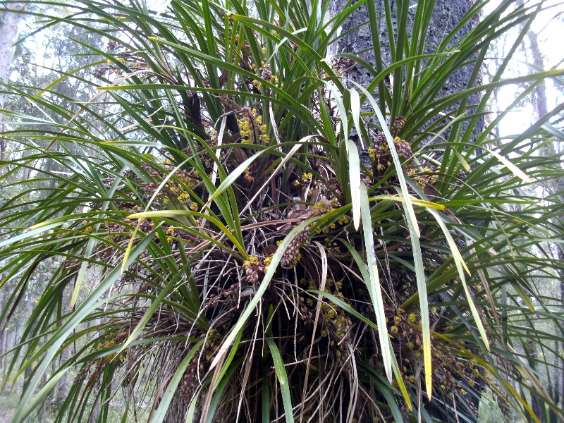
Twenty Nine bushwalkers set out on a beautiful sparkling day for new leaders, Brian and Chris’ 8km walk. The headland track from Malua Bay to Denham’s Beach provided superb views. Clear aqua seas, small islands, pristine beaches, and good views of Tollgates made this a very beautiful walk.
A juvenile Sea Eagle with its brown plumage was spotted being chased over the ocean by a breeding Currawong on the first leg of the walk. Morning tea at the Mosquito Bay coffee shop added an enjoyable social interlude. Then on to Lilli Pilli where a very healthy stand of unusual Grass Trees was seen flourishing right beside the track, some adorned with their dramatic 2m flower stems.
The walk concluded at Denham’s Beach after a relaxed lunch at Circuit Beach.
Franci
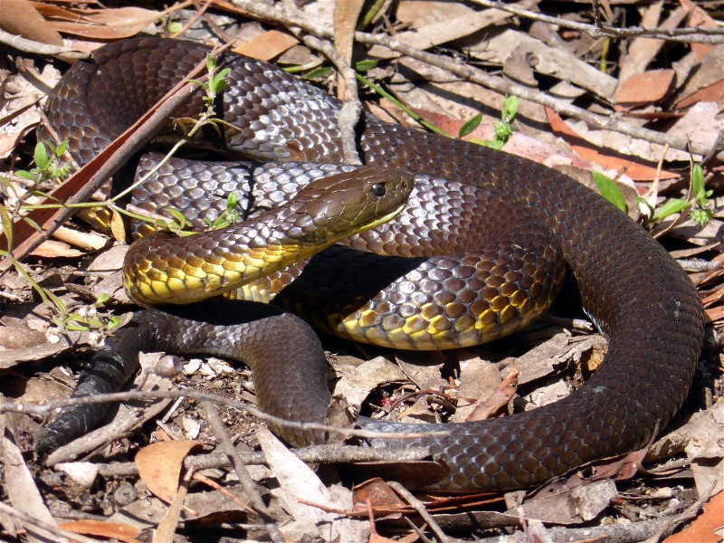
Billy's Hut from Lyons Road
Saturday 9 November 2013
15 walkers thoroughly enjoyed Cliff’s new route through the bush to Billy’s Hut. Although very dry, the bush looked good with macrozamias, spotted gums and numerous shrubs lining the route. The fringed lily shone on the grass as did a small black snake wriggling away from such good company.
This lovely route took us downhill through the bush, over fallen branches to the dry creek bed which led to the stone remains of Billy’s Hut which was built in 1880. Cliff provided us with Billy’s fascinating history before we climbed slowly out.
Another historical note is that a walk to Billy’s Hut was the first walk
undertaken by the BBBW over 25 years ago.
Barbara
Woodleigh Fire Trail
Saturday 9 November 2013
 |
 |
 |
| Donna, Len, Karen, Kay, Karen Photo by Bob M Click on thumbnail to enlarge photo |
Brown snake Photo by Donna Click on thumbnail to enlarge photo |
Bob and Len Photo by Karen M Click on thumbnail to enlarge photo |
Karen C led 5 other walkers on a 15km circuit through Monga National Park. The track goes over Monga Mountain, past hundreds of flowering purple Patersonia, hot pink Tetratheca, yellow Goodenia, Gompholobium and Hibbertia, bright blue Dampiera and white Cryptandra, amongst others. We even found a close relative of the Blueberry ash called Eleocarpus holopetalus (Black olive berry) in flower.
However, for those of us not botanically inclined, it was a good workout for legs and lungs with views over the Reidsdale Valley from the top of the hill.
A fat brown snake caused some excitement when it refused to move from its sunny spot
on the track, forcing us to edge around it cautiously.
Karen M
Little Dromedary Mountain
Wednesday 6 November 2013
Nine bushwalkers accompanied our leader Dennis on an interesting 9km walk in the Tilba region, taking in Little Dromedary Mountain and surrounds, this mountain being that interesting rocky peak east of the highway at Tilba. Having previously obtained permission, we proceeded across private property to the eastern base and spine of this small mount.
An hour of easy climbing and a short rock scramble had us at the pinnacle for morning tea and fabulous views, Gulaga dominating in the background. Once back at the base we then set out across undulating pastures towards the ocean and Little Lake, a pleasant spot for lunch with a cooling sea breeze blowing.
After lunch next POI, Tilba cemetery where we respectfully inspected the
graves, Dennis giving a small talk on the family that presided in the area at
that time. This completing our walk we headed to our cars a short distance away.
Lynne
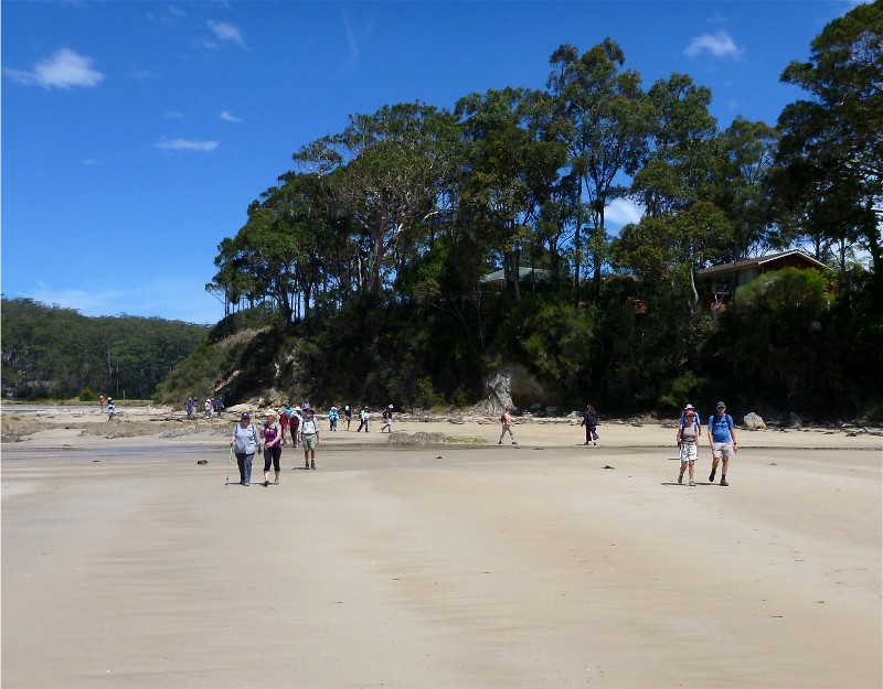
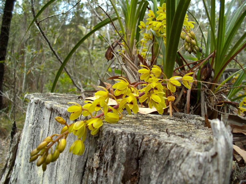
Long and Maloneys Beaches via Murramarang Forests
Sunday 3 November 2013
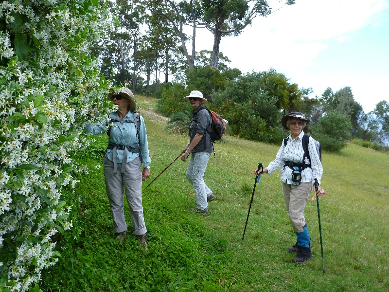 |
 |
 |
| Sharon, Karen and Betty Photo by Bob M Click on thumbnail to enlarge photo |
View south from Long Beach headland Photo by Bob M Click on thumbnail to enlarge photo |
Snake orchid (Cymbidium suave) in flower Photo by Karen M Click on thumbnail to enlarge photo |
Nine Batemans Bay Bushwalkers braved the hilly country in Murramarang National Park on the weekend on a 13 km walk to find snake orchids in flower. We started at Long Beach and walked over the headland east towards Maloneys Beach, admiring the spring gardens in glorious flower along the way. The views down the coast from that headland are also impressive.
The hills in Murramarang didn't disappoint and neither did the snake orchids - we found so many in flower, that after a while we were passing them by without even stopping to enjoy their heady scent. There were also plenty of Blueberry ash coming into flower, and the unscented rosewood always invites comment with its apple-like fruit.
Finally, we emerged onto the coast at Chain Bay where we saw quite a few dead
shearwaters which didn't survive their long flight - a common sight along beaches
at this time of year. Then it was a flat stroll back to the cars along the sand
beside all the different rock formations to Long Beach.
Karen M
Benandarah State Forest
Thursday 31 October 2013
 |
 |
 |
| Group shot Photo by Karen M Click on thumbnail to enlarge photo |
Snake orchid, Cymbidium suave Photo by Karen M Click on thumbnail to enlarge photo |
Blue gum forest Photo by Karen M Click on thumbnail to enlarge photo |
Susan led 16 Batemans Bay Bushwalkers on a 10 km undulating walk this week, in the forest between South Durras Road and Wrights Road north of Batemans Bay.
It was a very social walk, with lots of chatting and catching up with walking friends who had been recently travelling. All of the walk was on tracks, which were covered in a deep layer of leaf litter and many dead branches which are notorious for tripping up unsuspecting walkers. This is a lovely section of Blue gum forest with an understorey of wattles and Blueberry ash just coming into bloom. We also found a flowering snake orchid, which to our surprise, has an unexpected strong, but subtle perfume.
We also enjoyed watching a pair of glossy black cockatoos perched just above
our heads for several minutes before they decided to fly off, flashing their
orange red tail feathers as they went.
Karen M
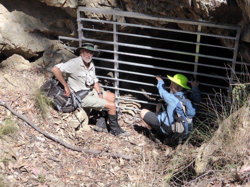
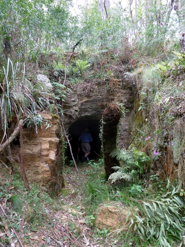
Kelly's Mine
Saturday 26 October 2013
 |
 |
| Stan and David at mine entrance Photo by Lesley Click on thumbnail to enlarge photo |
Donna and Stan at ore hopper Photo by Lesley Click on thumbnail to enlarge photo |
Todays walk, attended by 17 members was to Kelly's Mine in the Mogo State Forest and followed Bimbimbie Road west for several kilometres and then along rough tracks which passed numerous mine air shafts and mullock heaps which were remains of gold mining which took place in the late 1890's.
Lunch was held at the former mine site which evidences a former explosives tunnel store, rail tracks, grading trays and sorting tables.
The return trip was through lush vegetation beside Bimbimbie Creek evidencing the not to long ago rainfalls that broke the drought.
It was a perfect Spring day for bushwalking with friends.
Charles
The barrier across the entrance to Kelly's mine is to restrict human entry,
but also to protect the breeding colony of the Little Bentwing Bats who make this
mine their home.... Ed.
Gorge-ous Tarouga
Wednesday 23 October 2013
A lovely rock-scrambling walk to Gorgeous Tarouga Gorge was enjoyed by 9 Batemans Bay Bushwalkers on Wednesday, led by the highly competent Bob T. Heading off Potato Point Road on fire trails, we descended steeply into the gorge. Delicate purple Fringe Lilies were seen in abundance and Rock Orchids adorned the many huge boulders. An early September walk would have seen them in flower. Leeches were out witted at the lunch spot and provided entertainment as they tried in vain to find us.
Walking on the east of the ridge we were protected from the hot westerly
winds, though we were all ready for a swim by the end of the walk.
Frances
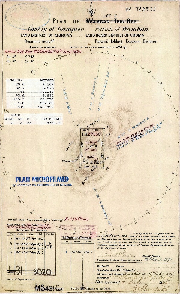
Wamban Mountain GPS Historic Search
Sunday 20 October 2013
 |
 |
| Wamban Trig Reserve plan Photo supplied by David Click on thumbnail to enlarge photo |
Kay, Lynne, Glenn, Michael and David at Wamban Trig Photo by David Click on thumbnail to enlarge photo |
Participants: David (leader), Glenn, Lynne, Michael and Kay
Decisions, decisions, one week out and only one participant, watching the weather during the week the forecast was for a hot day (33) on Sunday, not ideal walking weather. It actually got to 31 at Moruya Airport weather station so it did turn out hot.
Decisions, decisions, 2 days out, only one participant and large bush fires all over the State including a small fire 15km west of Nerrigundah. Friday night, 4 participants plus the leader... walk is on... weather forecast is still temp 33, but light winds and Nerrigundah fire has not increased in size.
We departed Moruya at 0900 for the drive in to the base of Wamban Mountain which is a fairly straight forward 4WD fire trail. It does have some steep sections where it pays to remember to have locked your front wheel hubs if you need to (note to self for the leader). It crosses the upper reaches of Wamban Creek which looks like a nice place to explore at some future time.
We reached the walk start point at about 1000. The walk is fairly straightforward from a navigational point of view. Get out or the car and keep walking up hill. There is no track but the bush is not thick. There is however a lot of loose rock underfoot. There are reasonable, filtered, views of the Coondella Range and Hanging Mountain to the west and the coastal lakes to the east. On our walk these views where a little hazy due to bush fire smoke.
As an addition to the aim of walking to the summit, the leader had calculated the GPS coordinates of 4 survey marker trees. These trees where marked in 1895 to define the Wamban Trig reserve. We searched for all 4 but had no luck. (It is possible to find survey trees of this age, the leader has found about 15 with original marks intact during his 25 years working as a Surveyor in the Eurobodalla Shire).
We lunched at Wamban Trig with much discussion on bushwalking equipment and
plans for future outdoor activities. Despite a minor navigational error on the
return walk, we were back at the cars at about 1430. A pleasant walk, but one
perhaps more suited to a cooler day.
David
Cullendulla Nature Reserve
Thursday 17 October 2013
No report received
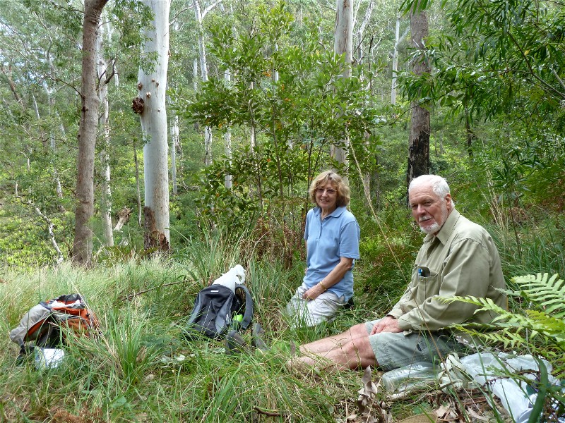
Bendethera Camp
Wednesday 16 - Saturday 19 October 2013
Seven bushwalkers went on a four-day car camp led by Len to Bendethera, where Joseph and Mary George and their 15 children lived and farmed in the 1860s.
The camp site was a very large grassy flat on the banks of the Deua River, which we shared with dozens of kangaroos.
The first walk was to follow the Georges Horse Trail, which was very overgrown, from near the top of Bendethera Mountain back down to the camp site. It was the route which Joseph George took to get his cattle and produce down to Moruya. The wildflowers were delightful, being all shades of yellow, purple, pink and white.
The second walk was to follow the horse trail downstream, by and in the crystal clear Deua River, crossing it knee deep 16 times and passing a small rocky gorge and many cascades.
The third walk was along a creek to Bendethera Caves, crossing numerous
times on stepping stones. At the caves there was a huge stand of Bendethera
Wattle with most unusual beautiful soft blue-grey foliage. It was an amazing
contrast to the green of the Eucalypts.
Betty
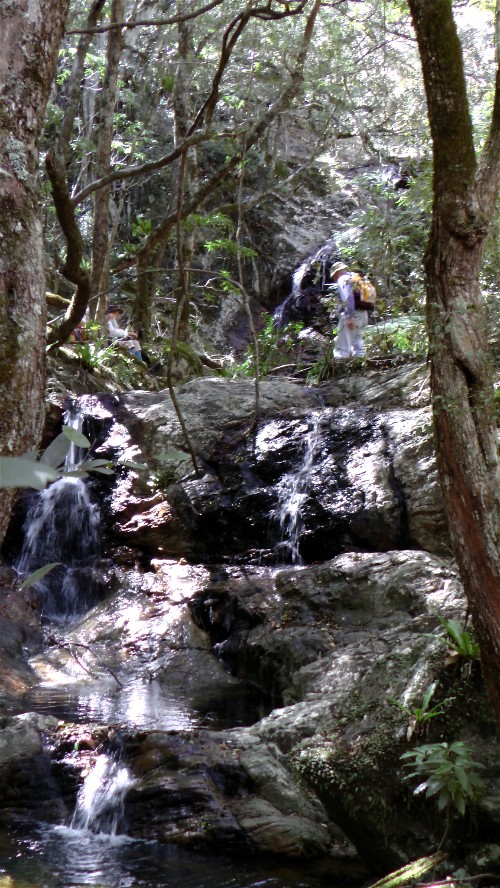
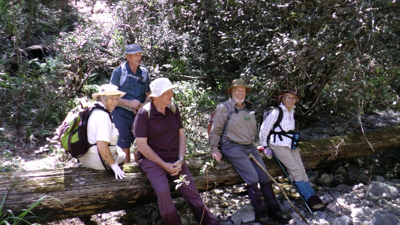
Currowan Creek and Tributary via Cascade Ravine
Saturday 12 October 2013
 |
 |
| The cascades Photo by Mike Click on thumbnail to enlarge photo |
Ainslie, John, Patrick, Bob and Betty Photo by Mike Click on thumbnail to enlarge photo |
Thirteen of us turned out on a beautiful Spring day to visit a special area in the forests off the Western Distributor Road recently explored by Cliff.
A dusty drive along a dirt road took us to our starting point. We parked the cars and set off down a steep hill with wildflowers along the sides of the track to Currowan Creek. The air was full of the songs of cicadas waking from their long sleep as summer approaches.
Leaving the track we followed Currowan Creek upstream, sometimes along the vine-tangled banks, and sometimes wading in the creek, clear and sparkling as it made its way down between mossy boulders and over water-smoothed pebbles. The tall Casuarina trees were laden with huge clumps of Birdsnest and Elkhorn ferns, some of which had been dislodged by the recent high winds, and lay now on the banks of the creek.
Turning off the main creek we followed a tributary, which brought us to the main attraction of the day - a series of waterfalls and cascades tumbling down a rocky slope flanked by tall trees and a tangle of rainforest vines - a magic spot for lunch.
We admired a fine tall tree which we were told was a Soapy Box - a rare rainforest species, before we returned to the cars by way of a steep trackless scramble up the hill to the ridgetop. And the cicadas were still singing.
Who says thirteen is unlucky? We thought ourselves lucky indeed to have had
such a day.
Mike R
Ryans Creek - Three Crossings
Wednesday 9 October 2013
Wednesday's walk in Murramurang National Park began with a lovely overgrown trail which was flanked by a variety of native trees and shrubs in flower.
Along the walk we admired huge old gums still standing, glimpses of the headland at North Durras, and scrambled down a steep bank before crossing the creek a few times.
We also noticed some recent hazard reduction burn offs had been done
before the predicted high summer temperatures arrive, and in spite of
this, as we walked along the trails, the birdsong, especially the
kookaburras way above us, were in fine voice.
Pat
Mines and Shafts in Currowan, including Black Diamond Mine
Sunday 6 October 2013
 |
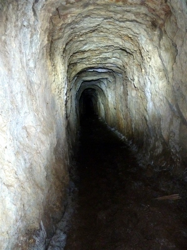 |
 |
| Elaine and Bob Photo by Kay Click on thumbnail to enlarge photo |
Mine tunnel Photo by Kay Click on thumbnail to enlarge photo |
Len exploring Photo by Kay Click on thumbnail to enlarge photo |
No report received
Spring Creek Fire Trail to View Rock Orchids and Waterfall
Thursday 3 October 2013
No report received