Third Quarter 2015. See below for
Walk Reports and Photos
Walk Reports and Photos for Winter 2015. Click on walk headings below, or simply scroll down the page.
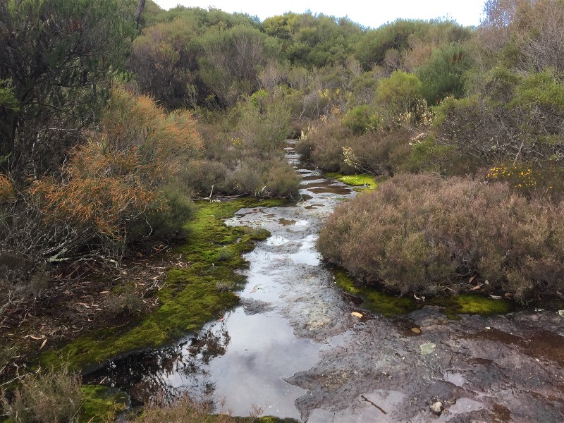
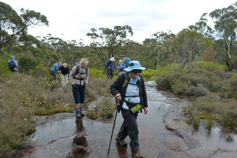
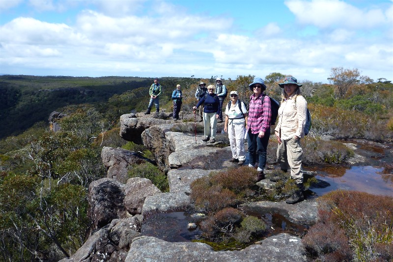
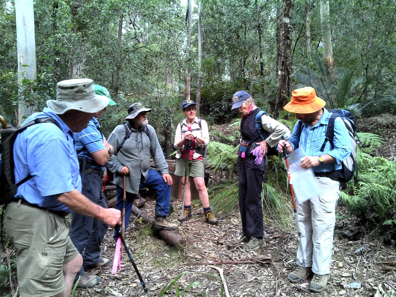
Mount Bushwalker and Gaol House Pass, Sunday 27 September 2015
Spotted Gum Road with Rock Orchids, Wednesday 23 September 2015
The Shoebridge Track, Sunday 20 September 2015
Cullendulla Creek via Square Head to Long Beach, Thursday 17 September 2015
Wamban Mountain GPS and Historic Marker Search, Saturday 12 September 2015
Back to the Buckenboura, Wednesday 9 September 2015
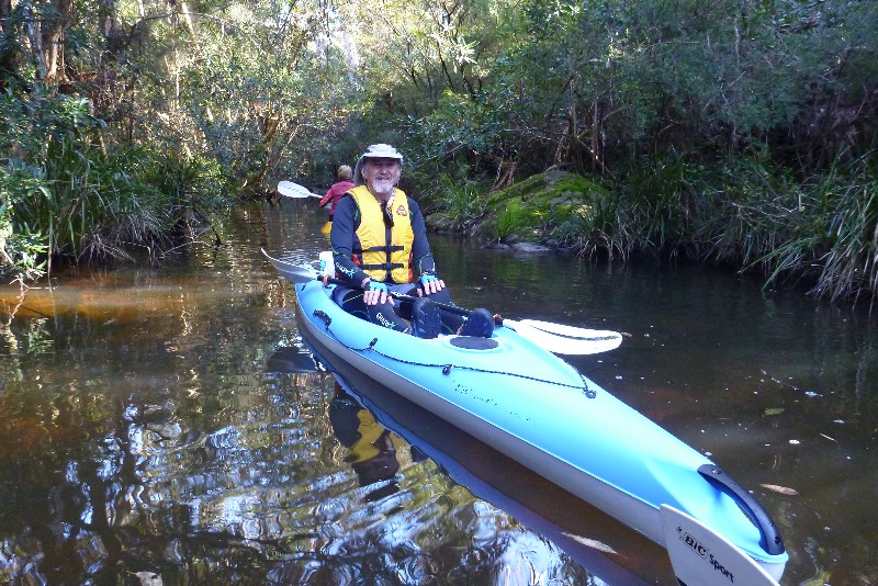
Mummaga Lake Paddle, Monday 7 September 2015
Tarourga Catchment and Gorge, Sunday 6 September 2015
Ulladulla Bush, Foreshore and Wildflower Nature Reserve, Thursday 3 September 2015
Ringlands Circuit at Narooma, Saturday 29 August 2015
Congo to Mullimburra Point and Return, Wednesday 26 August 2015
Bimberamala Mine from Browns Gully, Sunday 23 August 2015
Little Forest Plateau, Thursday 20 August 2015
Coila Lake Paddle, Tuesday 18 August 2015
Richmond Beach Area South Durras, Saturday 15 August 2015
Wine Glass Tor, Little Horse Shoe Bend Packwalk, Friday 14 to Sunday 16 August 2015
Malua Bay to Denhams Beach, Wednesday 12 August 2015
Tomakin Mini Trek, Sunday 9 August 2015
Bengello Beach Track to Moruya Airport, Thursday 6 August 2015
Guerilla Bay to Barlings Island, Saturday 1 August 2015
Mogo State Forest Tracks and Trails, Wednesday 29 July 2015
Burrewarra Point to Rosedale and Return, Sunday 26 July 2015
Broulee Island, Thursday 23 July 2015
Potato Point to Tuross Lake, Saturday 18 July 2015
Snow Shoe Walking from Jindabyne Camp, Friday 17 to Sunday 19 July 2015
Sunshine Bay Circuit, Wednesday 15 July 2015
Cullendulla to Corrigans Beach, Sunday 12 July 2015
Malua Bay to McKenzies Beach - Figure 8 Circuit, Wednesday 1 July 2015
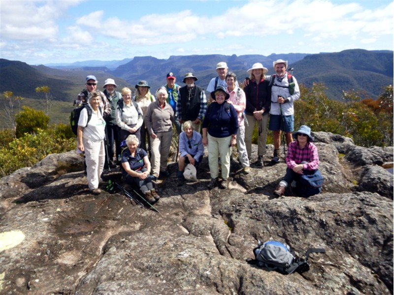
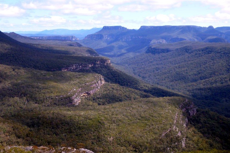
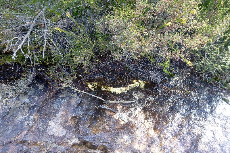
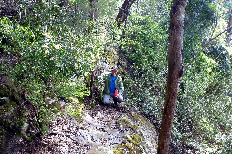
Mount Bushwalker and Gaolhouse Pass
Sunday 27 September 2015
 |
 |
 |
| The track was mostly underwater after recent rain Photo by Bob M Click on thumbnail to enlarge photo |
And the rocky outcrops were running with water Photo by Bob M Click on thumbnail to enlarge photo |
But the views from the lunch spot were amazing Photo by Bob M Click on thumbnail to enlarge photo |
 |
 |
 |
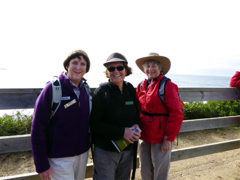
| Just to prove we were all there Photo by Donna Click on thumbnail to enlarge photo |
Looking up the Clyde Gorge towards the Castle Photo by Karen M Click on thumbnail to enlarge photo |
Subtle arrow indicating, but not pointing to track to Gaol House Pass Photo by Karen M Click on thumbnail to enlarge photo |
 |
 |
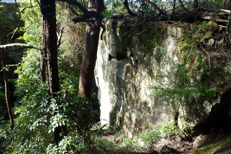 |
| Mike, Rob and Ainslie at track to Gaol House Pass Photo by Karen M Click on thumbnail to enlarge photo |
Rob at the head of Gaol House Pass Photo by Karen M Click on thumbnail to enlarge photo |
Huge boulders in Gaol House Pass Photo by Karen M Click on thumbnail to enlarge photo |
No report received
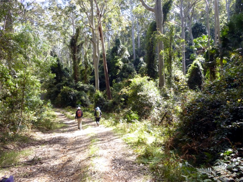
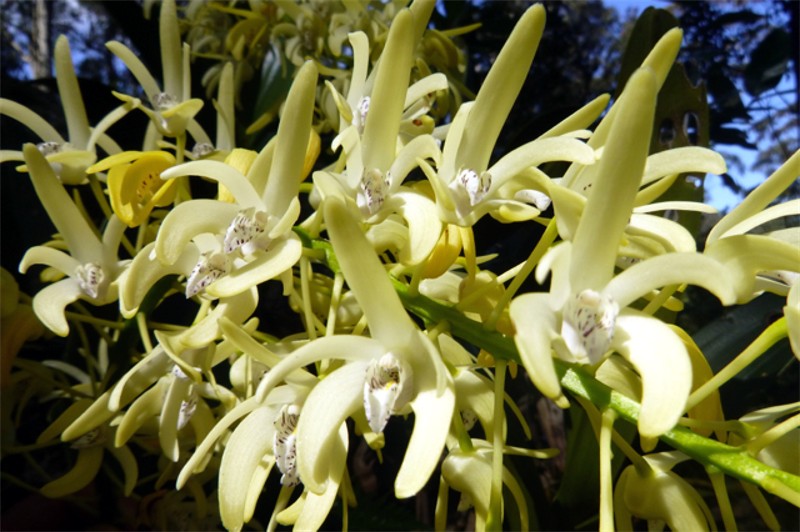
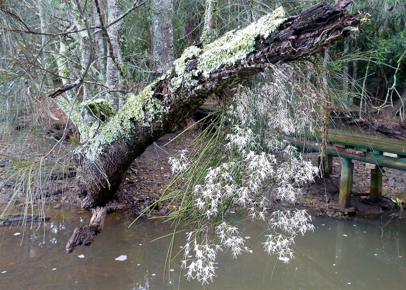
Spotted Gum Road with Rock Orchids
Wednesday 27 September 2015
 |
 |
 |
| Spotted Gum and Blue Gum forest Photo by Donna Click on thumbnail to enlarge photo |
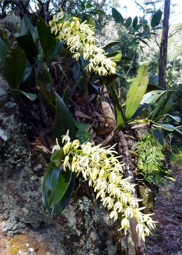
Rock Orchids Photo by Karen M Click on thumbnail to enlarge photo |
Closeup of the orchid Photo by Donna Click on thumbnail to enlarge photo |
 |
 |
 |
| Big conglomerate outcrop Photo by Donna Click on thumbnail to enlarge photo |
Lesley emerges at the top Photo by Donna Click on thumbnail to enlarge photo |
Bob rearranging the lunch log Photo by Rob L Click on thumbnail to enlarge photo |
Native rock orchids are flowering now and many of us have them in our gardens to enjoy their spectacular sprays of creamy yellow flowers and muted scent every day. However, it is worthwhile seeking them out in their natural habitat - usually hanging precariously from large rocky outcrops or cliff faces, surrounded by smaller native orchid species, mosses and lichen. That sort of natural landscaping is hard to replicate in a suburban garden.
Batemans Bay Bushwalkers set off on Wednesday in search of flowering rock orchids
and found them on a mossy conglomerate rocky outcrop in Murramarang National
Park. The track through predominately spotted gum and blue gum forest was lined
with flowering wildflowers of all colours. Along the way we noted several overgrown
tracks which bear further investigation. Lunch was on a rocky perch amongst the
rock orchids.
Karen M
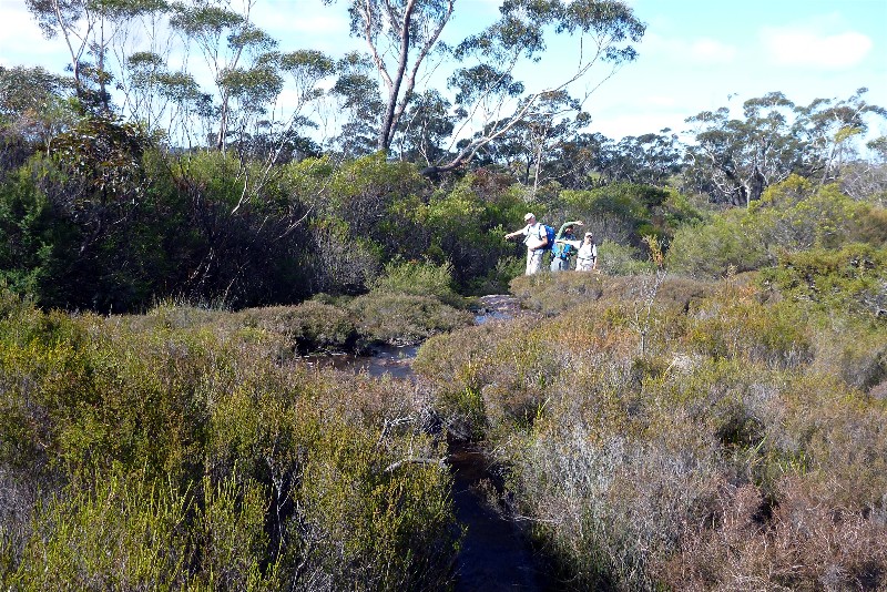
The Shoebridge Track
Sunday 20 September 2015
This walk was last done in 2010, being also led by Len.
The Shoebridge Track is apparently named after a store keeper who lived at Araluen. The track is a pack horse route from Araluen to the Clyde River near Runnyford.
The first 7 km of the track from the Araluen road end, traverses some steep country, climbing 540m in height resulting in an average grade of about 1 in 12. Presumably 1 in 12 is a good grade for pack horses. For almost all of this 7 km the track consists of a narrow bench formation cut into the hill side. Who selected the route and did the astounding amount of pick and shovel work is unknown. A local land owner suggested it was convict labour. Something for the historians out there to investigate.
For the first 3.5 km of the walk, the track is on the southern side of the ridge so the vegetation included patches of tree ferns and the inevitable leech or two. After a further 3.5 km the pack horse track merges with the Gollarribee fire trail. This last 3.5 km is generally on the north side of the ridges, so a dryer type of vegetation. Along the Gollarribee fire trail parts of the Shoebridge track still exits where it goes around the side of high points on the ridge rather than going over the top where the fire trail does.
The final part of the walk involved a steep descent (400m in 2km, 1 in 5) of the Merricumbene fire trail.
Fauna on the walk was an assortment or birds and near the Gollarribee fire trail a
neatly coiled Brown Snake.
David
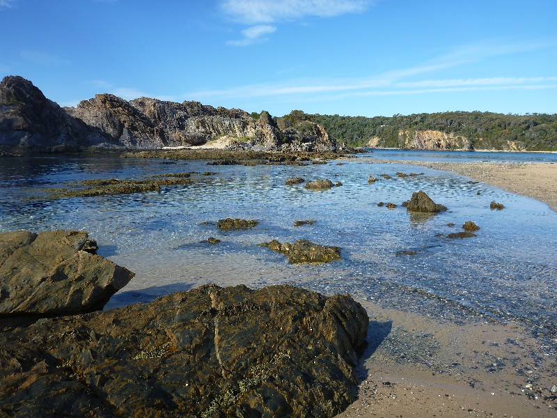
Cullendulla Creek via Square Head to Long Beach
Thursday 17 September 2015
 |
 |
 |
| Stephanie, Bob, Rob, Bev, Min Photo by Donna Click on thumbnail to enlarge photo |
Rats Tail Orchids along Cullendulla Creek Photo by Karen M Click on thumbnail to enlarge photo |
End of the walk at Long Beach Photo by Bob M Click on thumbnail to enlarge photo |
A hardy band of 9 walkers met at the Batemans Bay Bridge car park on Thursday 17 September, all anticipating a walk along the coast south of Long Beach. The walk started in light rain, with a descent to Cullendulla Creek, through attractive forest imbued with the heady scents of Spring (mainly sweet pittosperum).
We followed the creek's north bank along a pleasant grassy track to emerge on a pretty beach with an excellent view of Batemans Bay across the water. The casuarinas lining the creek supported several lovely sprays of Rats Tail Orchids in full flower.
A climb through spotted gum led to more distant coastal views, including a pod of playful dolphins..
This walk ended at Long Beach where we looked back on the sight of Square Head looming
against the sky. Thank you Rob for leading us on this interesting and varied walk.
Bob M
Wamban Mountain GPS and Historic Marker Search
Saturday 12 September 2015
Cancelled due to insufficient numbers
Back to the Buckenboura
Wednesday 9 September 2015
Postponed due to dangerous road conditions
Mummaga Lake Paddle
Monday 7 September 2015
For the 5 paddlers who launched at Mummaga Lake, only 1 had paddled on it before. We launched from Evans Point at the end of Attunga Street in Dalmeny, an excellent launching site, and headed north to circumnavigate the waterway. We attempted to paddle up Lawlers Creek, but the water level was too low.
However the casuarinas at the entrance to the creek and in an adjoining backwater were festooned with many flowering Rats Tail Orchids (Dendrobium teretifolia). We visited most of the little sheltered bays on the lake, and had morning tea on a great little beach on the north bank. We attempted to circumnavigate an island on the eastern side, but once again the water level was too low.
Mummaga is always open to the sea, and we had a low tide at the coast, which meant that water was still flowing out of the narrow winding seachannel. Note to Leaders: Schedule paddle when the tide is high on the coast about an hour or two before launch time to ensure higher water level in the lake.
We finished our day on the water with lunch in the sun on the grass overlooking
the lake, watching a seal in the shallows, waving his flipper around to catch the sun's
heat, and poking his nose up for a breather every now and then.
Karen M
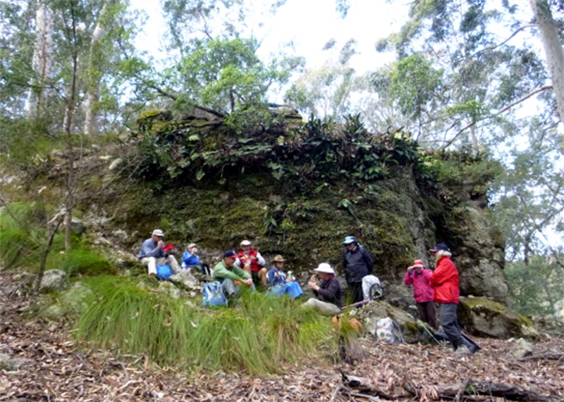
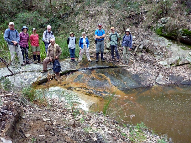
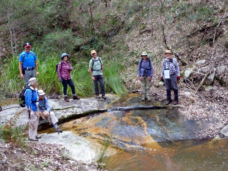
Tarourga Catchment and Gorge
Sunday 6 September 2015
 |
 |
 |
| Mike, Lyn, Glen, John, Simeon, Elaine, Ainslie, Rob, Mark and Barry Photo by Bob T Click on thumbnail to enlarge photo |
Ainslie, Mike, Rob, Lyn, Mark, Barry and Bob T Photo by Elaine Click on thumbnail to enlarge photo |
Tortured spotted gum Photo by Bob T Click on thumbnail to enlarge photo |
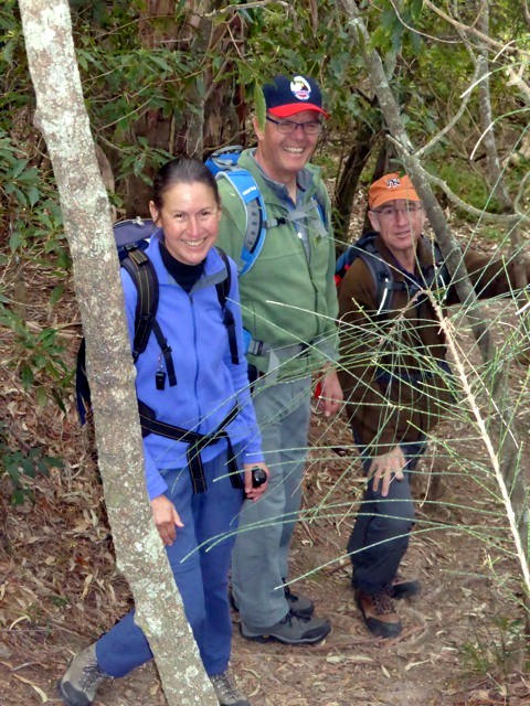
This walk had been researched and was led by Bob T as a variation on an itinerary earlier developed by the Narooma Dalmeny bushwalkers. Weather sunny at the start, became overcast in the afternoon, no rain. The approach to the starting point was via Tarourga Road (off the Bodalla to Potato Point Road) where cars were left. Most of the walk was off track, initially through eucalypts and small shrubs, generally following a circular itinerary which soon took us amongst granite boulders crossing smaller streams, ideal territory for black snakes (one sighted) and leeches (several).
Came across isolated clumps of hibbertia and isolated orchids. We lunched at a most scenic spot sitting on boulders on the Tarouga Gorge, to the musical sound of cascading waterfalls. After lunch we ascended the opposite side through a challenging collection of large granite rocks, experienced members aiding the others in the selection of the most accessible passages around the rocks, entailing a fair amount of bush-bashing. We sighted a splendid example of a eucalypt which had seeded between boulders and over the years forced its way up, with tendril roots draped over the rock face. A large clump of rock orchids was sighted, but not yet in flower.
The ascent eventually led to a disused old forestry road, then back to the cars.
An interesting and cleverly designed itinerary.
John M
Ulladulla Bush, Foreshore and Wildflower Nature Reserve
Thursday 3 September 2015
There were 10 keen and enthusiastic members led by Joan to drive and explore the first time walk around the Ulladulla Wildflower Nature Reserve at the end of South Street which turns left off the main street at the top of the hill approaching the town. Brochures for this reserve were obtained from the Ulladulla Information Centre and showed a vibrant photo of a waratah in flower which gave all of us hopes of some to be seen - however, whether due to abundant rainfall or just not the right week, there was only one beautiful waratah found in flower.
The long loop of the walk is an easy and pleasant 1.5km and with hopes of seeing more wildflowers it would be better to visit the reserve probably in early October. This reserve is maintained by volunteers and is a credit to them with clear signage and some seating along the way.
On leaving the reserve the group drove to the northern end of Millards Creek,
made a car shuffle over to the headland picnic area and then began the track
along the creek. This track follows the creek and passes through lush bushland
until ending at the highway where we crossed over to the headland picnic area and
enjoyed lunch with beautiful views of the local boating harbour.
Joan
Ringlands Circuit at Narooma
Saturday 29 August 2015
After a week of heavy rain and undeterred by a rain shower on the way to the start point, 8 walkers set out to walk the Ringlands track south of Narooma on what turned out to be a beautiful sunny day. Following Flying Fox Road with rural views across the hills to the south, we then turned left into Ringlands Road and walked down to Shell Point which had been the site of a large midden, and was now largely covered by grass. We stopped here for morning tea looking over the placid water of Wagonga Inlet.
From here we followed the track along the foreshore, passing through a variety of vegetation including dry schlerophyll and some rainforest species, while She-oaks grew along the shore. The yellow bubble seaweed, from which Narooma gets its name, was much in evidence and we passed oyster leases and open grassland. We were fortunate to see magnificent displays of many Rat's tail Orchids (Dendrobium teretifolia) in full flower, while the Native Indigo (Indigofera) was full of buds ready to burst into flower. Lunch was taken at one of the small bays overlooking the Inlet.
At the end of the Ringlands Walk, we visited the Rainforest in Flying Fox Gully
where the darker closed canopy of the Rainforest contrasted with the open forest
through which we had walked on the Ringlands Circuit, an interesting finish to a
lovely walk on a lovely day. Thanks to our leader Lesley.
Susan
Congo to Mullimburra Point and Return
Wednesday 26 August 2015
Postponed due to heavy rain and flooding. Rescheduled for next quarter.
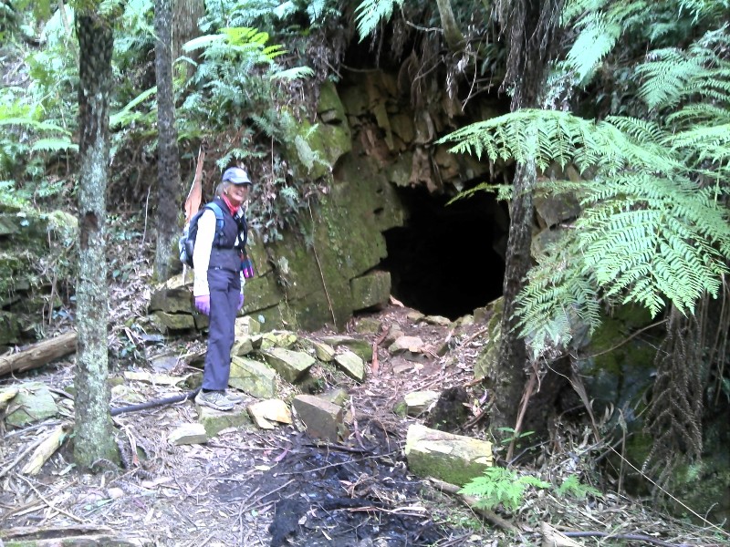
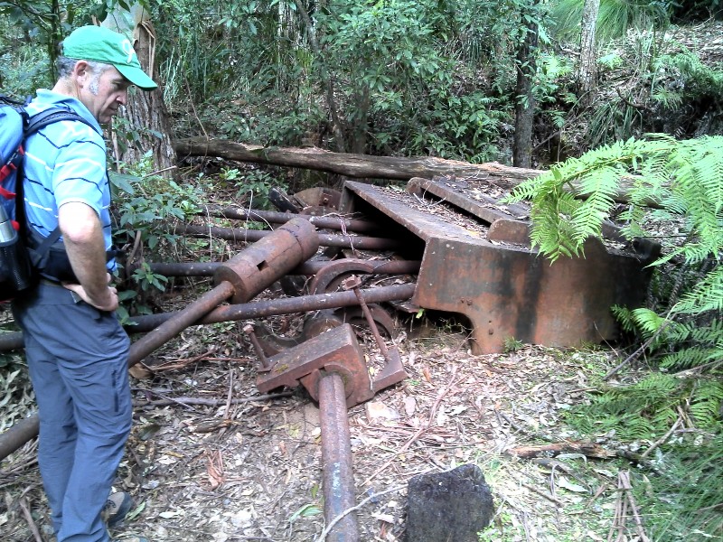
Bimberamala Mine from Browns Gully
Sunday 23 August 2015
 |
 |
 |
| Valerie at entrance to the old mine Photo by Rob L Click on thumbnail to enlarge photo |
Valerie relating history of Bimberamala Mine to walkers Photo by Rob L Click on thumbnail to enlarge photo |
Mark pondering how the rock crusher worked when standing Photo by Rob L Click on thumbnail to enlarge photo |
Walk leader Valerie led a group of 7 walkers on an interesting hike to the Bimberamala gold mine. The 650m of ascent and 650m of descent was interspersed with calls of "is this the last hill till lunch" which Valerie patiently fended off with a smile and comment of "one more hill just around the corner".
Lunch was at the Bimberamala creek crossing followed by a short hike up a side
track to the mine. We were amazed by the size of the mine tunnel entrance and
rusting equipment and could only marvel at the effort of the miners back in 1895
to find and work this deposit. We had the benefit of forest roads to access the
site, but the miners would have had to hike over rough terrain for 10km to the
Clyde River then 30km downstream to Nelligen.
Rob L
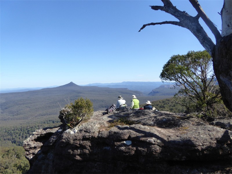
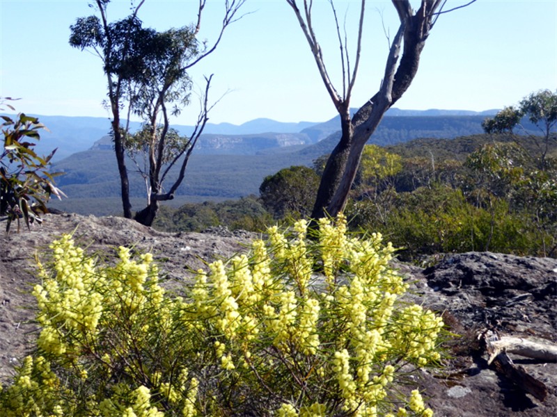
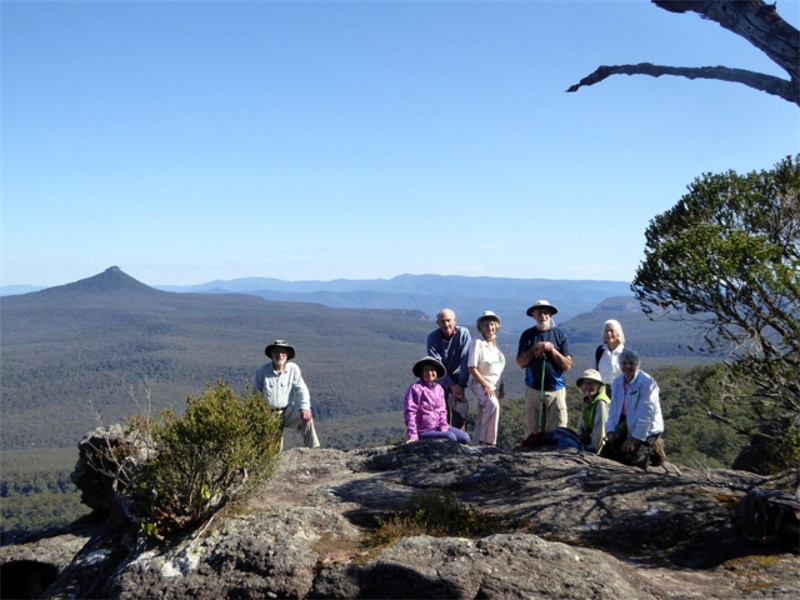
Little Forest Plateau
Thursday 20 August 2015
 |
 |
 |
| View from Little Forest Plateau Photo by Donna Click on thumbnail to enlarge photo |
Early wildflowers Photo by Donna Click on thumbnail to enlarge photo |
Can't get enough of those views Photo by Donna Click on thumbnail to enlarge photo |
The 20th August was a stunningly beautiful clear sunny day for our walk by fourteen members along a wide track out to Florance Head. We were early for the full glory of the pink Boronia, which was only in bud, perhaps due to the very cold winter just past. However we were rewarded with wonderful clear views southwest of Pigeonhouse with its distinctive narrow top, Byangee Walls and Castle Gap, and The Castle just poking out above the other half of Little Florance Plateau.
On our return we cut across to the eastern rim for views over the coast
towards Milton and Lake Conjola.
Ainslie
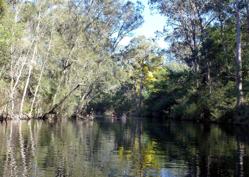
Coila Lake and Creek Paddle
Tuesday 18 August 2015
 |
 |
| Bob at the end of Coila Creek Photo by Karen M Click on thumbnail to enlarge photo |
Sunshine and wattle on Coila Creek Photo by Karen M Click on thumbnail to enlarge photo |
7 paddlers enjoyed an eventful cruise on Coila Lake and its adjoining creek on Tuesday.
We launched from Rob and Miriam's property on the lake and headed straight for the creek entrance which is well hidden from view by stands of dead flooded casuarinas. The water is very high at the moment, but we made it under the highway bridge OK and immediately ran into a large flock of coots, followed by some low flying swans and a superb azure kingfisher.
Karen spotted a wombat trotting along the bank on the furtherest reach of the creek, and Bob T encouraged a billy goat out of his precarious perch on the side of a steep and flooded bank.
Back on the lake a light breeze had come up and we were relieved we only had to paddle back to the property and not the extra 3km to Tuross, which is our usual launching spot. On the way we saw more seabirds, including a huge flock of black shags feeding in the middle of lake.
Rob and Miriam hosted us for lunch on their sunny verandah overlooking the lake, and restored our
sugar levels with some chocolate brownies and anzac biscuits. A big thank you to both of you.
Karen M
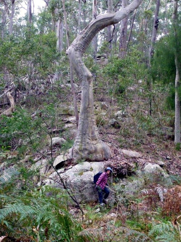
Richmond Beach Area South Durras
Saturday 15 August 2015
Ailza led her first walk with 19 in the group. It was in Murramarang National Park, and this part west of the Coast Road was declared in 2001 after lobbying hard by Friends of Durras.
Graded as easy, the walk began down an old logging track deep in leaf and twig litter, then up a gentle hill to a good track north to The Big Tree. Ailza asked us all to guess the age of this big Spotted Gum (Corymbia maculata), with most guessing over 200 years. However, her information was that it was 198 years old and the winner got a prize of liquorice allsorts. A spokesman at Batemans Bay Forestry Corporation said that estimating the age of Spotted Gums and Bluegums was difficult as they almost stop growing in droughts. The way to do it is to measure the circumference at 1.3 metres above the ground and then work out the diameter (how's your maths?); the tree grows 1 cm in a year of growth, or approximately 1 metre diameter in 100 years if the tree is growing in moisture and fertile soil.
After lunch on Richmond Beach, we walked past what we call the Moose Tree, a
very old Spotted Gum with a very twisted thick branch, then out to the end of the
headland to have a look at the hidden humpies, made several years ago by twisting
dead branches into roofs and walls. They have a spectacular view of the coast.
Ainslie
Wine Glass Tor, Little Horse Shoe Bend Packwalk
Friday 14 to Sunday 16 August 2015
No report received
Malua Bay to Denhams Beach
Wednesday 12 August 2015
 |
 |
| Stan, Karen and Ian Photo by Mary Click on thumbnail to enlarge photo |
Lynne, Rob and Mark Photo by Mary Click on thumbnail to enlarge photo |
Though walking close to home may not pose the same challenges as a good "bushbash", it can still offer interest and a few little challenges along the way. There is a popular saying that refers to "taking the first step", and the first concrete step on the old track leading up from the northern end of Malua Bay Beach onto the headland, certainly brings to mind "and one huge step for mankind!"
This 8km local walk, from Malua Bay to Denhams Beach, was lead by Mark and Wendy who took our group of 18 walkers up and over several headlands, then down onto rock platforms and beaches. Most of the walk was along old well worn goat tracks, with a few exits off headlands requiring some deft foot work.
As for morning tea, well so often in the bush we just find a log or a rock
to perch upon but not so today, as morning tea was at the bakery at
Mosquito Bay. Along the track we had good views of the Tollgates,
watched dolphins feeding off Lilly Pilly Beach and, despite the light shower
of rain after lunch, we were treated with an excellent view of Pigeon House
from the southern end of Wimbie Beach. Then it was a mere hop, skip and a
jump to Denhams Beach.
Mary
Tomakin Mini Trek
Sunday 9 August 2015
No report received
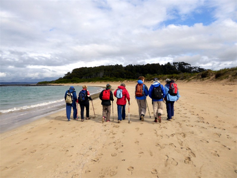
Bengello Beach Track to Moruya Airport
Thursday 6 August 2015
 |
 |
 |
| John and leader Bev Photo by Donna Click on thumbnail to enlarge photo |
Bengello Beach track Photo by Donna Click on thumbnail to enlarge photo |
Bengello Beach Photo by Donna Click on thumbnail to enlarge photo |
No report received
Guerilla Bay to Barlings Island
Saturday 1 August 2015
No report received
Mogo State Forest Tracks and Trails
Wednesday 29 July 2015
 |
 |
 |
| Mary, Bev and Karen Photo by Donna Click on thumbnail to enlarge photo |
Pat, Geoff and Karen Photo by Donna Click on thumbnail to enlarge photo |
Geoff practising for when he gets home Photo by Donna Click on thumbnail to enlarge photo |
About 16 very keen members met on Wednesday 29 July to tackle a 10km walk in the Mogo State Forest. We crossed the highway and proceeded to walk west towards the bushland and what a wonderful surprise - a couple of kilometres in we struck gold! The warm sun was shining down on the golden wattles in bloom, a true Aussie delight to the eyes.
At several stages of the walk we enjoyed kookaburras in full song, or were they laughing at me straggling way behind, puffing up the challenging hills. We came across some rather wet areas, but thankfully no leeches took up residence on our persons. Some deep holes, remains of old gold mines, were observed and we enjoyed our lunch while sitting on some well placed fallen logs before heading back.
Thank you to our leader Karen for a most interesting pleasant walk, after which
a few of us helped out the Mogo traders by indulging in coffee, hot chocolate and cake.
Ailza
Burrewarra Point to Rosedale and Return
Sunday 26 July 2015
 |
 |
 |
| Carol, Bob, Denise and Karen Photo by Kay Click on thumbnail to enlarge photo |
View south from Burrewarra Point Photo by Karen M Click on thumbnail to enlarge photo |
Max, Lynne and Karen Photo by Carol Click on thumbnail to enlarge photo |
 |
 |
 |
| Guerilla Bay Photo by Karen M Click on thumbnail to enlarge photo |
Jean, Karen and Lesley Photo by Kay Click on thumbnail to enlarge photo |
Isolated deserted beach Photo by Karen M Click on thumbnail to enlarge photo |
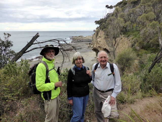
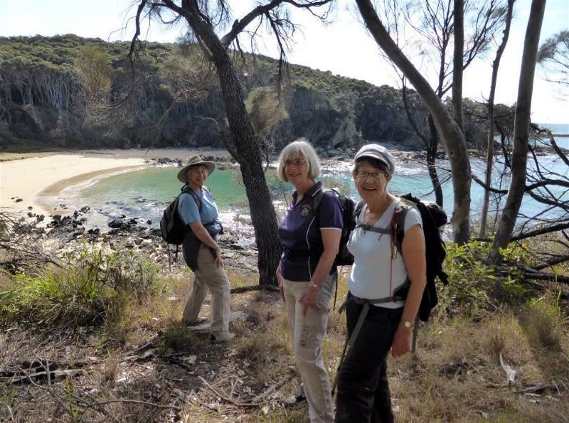
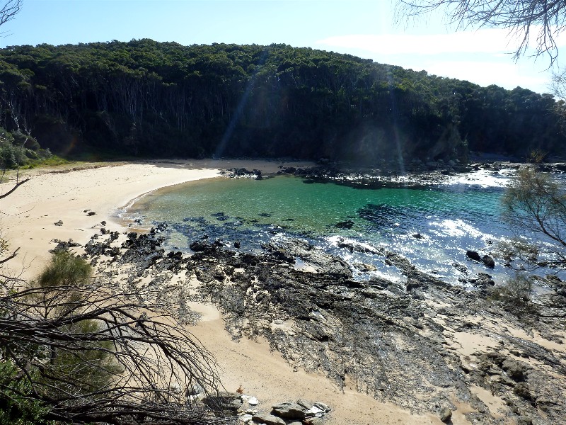
Fifteen Batemans Bay Bushwalkers took another look at our fascinating local coastline on Sunday, on an 8 kilometre walk from Burrewarra Point at Guerilla Bay to Rosedale.
The walk around Burrewarra Point is always interesting and features amazing views north along the coast to Pigeonhouse Mountain and south to Mt Dromedary. Walkers also checked out the old WWII radar bunker and working lighthouse, as well as admiring the grand old banksia forest, interspersed with Port Jackson pines and flowering correa bushes.
There are 4 beaches along the walk, all virtually deserted, even though it
was a fine sunny Sunday. These hidden sheltered bays are truly picturesque,
divided by high headlands and backed by spotted gum forest. Winter is a pefect
time to explore the natural assets of the Eurobodalla and enjoy the company of
fellow Bushwalkers on the track.
Karen M
Broulee Island
Thursday 23 July 2015
 |
 |
 |
| Heading towards the island Photo by Donna Click on thumbnail to enlarge photo |
Morning tea Photo by Donna Click on thumbnail to enlarge photo |
Windswept walkers on the rock platforms Photo by Donna Click on thumbnail to enlarge photo |
On Thursday 23 July, thirteen walkers braved a chilly, showery morning to do the circuit of Broulee Island. The walk was along beaches, across flat rocks, lots of smooth, rounded pebbles and shell grit and a short bush track. Broulee Island has a rich history, having played a leading role in the early development of the Eurobodalla area. Not much is left of the early habitation but walkers enjoyed hearing of times past when the island was home to a thriving settlement including a hotel that was subsequently moved to Moruya. The grave of one of the early settlers, a Mrs Malaber, can still be found in the centre of the island.
The reason for the early development of the area was that it had a deeper, safer
harbour than either Moruya or Batemans Bay. Loss of vegetation for an access road
caused erosion in that part of the coast and the harbour disappeared. Broulee
Island has recently been the site for memorial plaques to be attached to the rocks and
walkers enjoyed reading some of these.
All agreed it was a pleasant way to spend a winter morning.
Trish
And thank you Trish for not only leading the walk in tricky weather, but also writing your own walk report! Ed.
Potato Point to Tuross Lake
Saturday 18 July 2015
 |
 |
 |
| Overlooking Tuross Lake Photo by Kay Click on thumbnail to enlarge photo |
Not quite deserted beach Photo by Kay Click on thumbnail to enlarge photo |
Heather, Jill and Jean Photo by Donna Click on thumbnail to enlarge photo |
The walk was led by Jill. We assembled at Potato Point and headed north along the beach. Spectacular views of the ocean with large waves breaking on shore, against a very dark threatening sky to the east. A few drops of rain, but then weather settled and sun shone in the afternoon. Proceeded north until the opening of Tuross Lake to the ocean, past picturesque clumps of rocks.
The return was made by first following the shore of Tuross Lake, then crossing dunes with sparse marine vegetation. Interesting bird life: pelicans, plovers, oyster catchers. We entered the Eurobodalla National Park, and followed a delightful road between banksias, macrozamias and spotted gums. Came across a small family of kangaroos, who showed no anxiety at the presence of humans.
For the return, part of the group followed the beach, another part returned via the road.
Thank you Jill for a scenic tour of another section of our remarkable coast.
John M
Snow Shoe Walking from Jindabyne Camp
Friday 17 to Sunday 19 July 2015
 |
 |
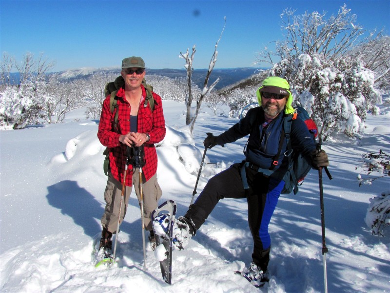 |
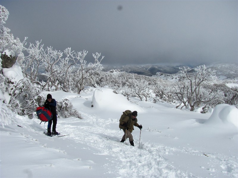
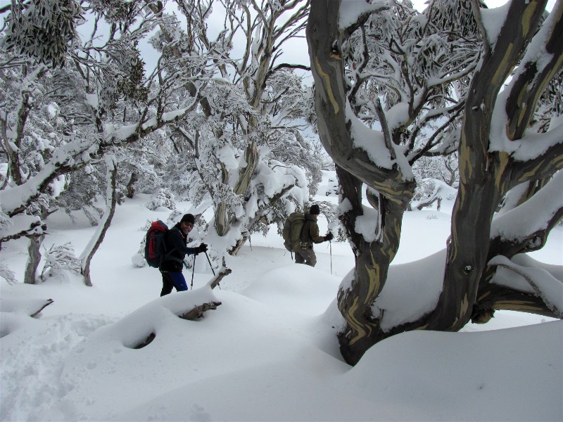
| Setting out after lunch Photo by Helen Click on thumbnail to enlarge photo |
Snow gums as they should be seen Photo by Helen Click on thumbnail to enlarge photo |
Martin and David Photo by Helen Click on thumbnail to enlarge photo |
Look what you missed!
OK, so camping in Jindabyne in winter is not for the faint-hearted (and I'm not sure I will do it again) but the snow shoe walking is amazing.
We travelled to Jindabyne on the Friday (so did half the world and his wife it seemed, the snow forecast must have been good) as the camp sites were nearly all full. We got a site at a park with a lovely heated amenity block with warm kitchen and TV room thankfully. Hiring snow shoes and stocks was easy.
On Saturday Dave drove us to Perisher (the roads were cleared of snow that far) and we followed the line of traffic to the large car park. From there we togged up and set off through some deep snow and found the path to Porcupine Rocks, following the poles. We came across a few deep snow drifts to sink into, but soon learnt to assess each step for sink risk and how to avoid the deepest areas. The weather was dry and often sunny, though cloudy and cooler when the cloud came low. There was still a great view from the rocks to the valley below. On the return we met cross country skiers and I was glad I was moving slower in snow shoes.
After a chilly night we were glad Sunday was sunny as it eventually warmed us as we walked part of the Cascade track (Bob's walk) through beautifully snow blanketed trees and by the creek. The snow really did twinkle and small bushes were covered in exquisite ice formations and Dave's beard turned white with frost! We made our own path along the ridge, seeing snow gums as they really should be viewed with their colourful trunks contrasted against the pure white of the snow. Then we dropped down in to Dead Horse Gap before walking the last few metres of snow-less road in walking boots, which seemed quite novel!
What a great weekend we had and what a good way to see the snow fields of Australia.
Helen
Sunshine Bay Circuit
Wednesday 18 July 2015
This new walk was designed and led by Brian and Chris. It could be labelled Magic Hidden Coves as it opened up sightings of our coastline which are normally hidden from Beach Road by the houses on the sea side, between Sunshine Bay and Casey's Beach.
The walk started at the home of Judith and John on Barbara Crescent and followed hilltops overlooking rocky outcrops and beaches below, using old tracks, overgrown in parts, down to Casey's beach. After morning tea at Batehaven the return was begun by rock scrambling around the point below Observation Head, then back to Casey's Beach where part of the group led by Brian continued on along the shore platform, negotiating the rocks around the point leading to Sunshine Bay. The others, led by Chris, retraced the original route back to Barbara Crescent.
At the conclusion of the walk John and Judith gave all a great welcome with
delicious scones in their garden overlooking yet another hidden cove. Excellent
weather throughout. Thank you all for a wonderful day.
John M
Cullendulla to Corrigans Beach
Sunday 12 July 2015
Walk cancelled due to rain. Rescheduled for next quarter.
Malua Bay to McKenzies Beach - Figure 8 Circuit
Wednesday 1 July 2015
The weather was a perfect sunny winter day for the walk led by Mark and Wendy for members of Batemans Bay Bushwalkers from Malua Bay to McKenzies Beach in a figure eight circuit. The group headed south from Malua Bay Surf Club up some steps to the top of the cliff and followed the track out to Pretty Point where the views were spectacular of crashing waves, rocky outcrops, islands and cliffs. This wonderful scenery gave thoughts as to why so many travel overseas when we have so much beauty right on our doorstep.
Also enjoying the perfect weather were rock fishermen, boating fishermen, dolphins travelling in pods and in surrounding bush was heard the calling of whip birds. The track continued south to McKenzies Beach where lunch was enjoyed, after which the walk continued around the next headland to the most unusual and very impressive Pink Pool. The pink appearance was caused from the rocks surrounding and forming the pool being covered in pink algae.
The return walk involved rock hopping over the wide rock platforms around the
headlands and ended with a drive to the home of the leaders for a delicious afternoon
tea. Thank you Mark and Wendy for an enjoyable day.
Betty