
Fourth and Final Quarter for 2012. See below for
Walk Reports and Photos
WELCOME TO THE LAST BUSHWALKING QUARTER OF 2012, and some great walk reports and photos. Click on walk headings below, or simply scroll down the page.
Broulee to Moruya North Head, Thursday 22 November 2012
Corang Arch, Saturday 17 November 2012
A Great Little Coast Walk, Wednesday 14 November 2012
Tomaga River Catchment, Sunday 11 November 2012
Barlings Drive, Mogo State Forest, Thursday 8 November 2012
Sassafras to Yadboro (Budawangs) Camp, Monday 5 to Thursday 8 November 2012
Murramarang National Park - North Head to Maloneys, Saturday 3 November 2012
Boundary Fire Trail Monga, Wednesday 31 October 2012
Great Divide Explorations Car Camp No 2 - Crow Valley, Saturday & Sunday 27 & 28 October 2012
Deep Creek Dam Area, Sunday 28 October 2012
Dalmeny to Kianga, Tracks and Trails, Thursday 25 October 2012
Big Tree Circuit Behind Richmond Beach, Saturday 20 October 2012
Bush to Kioloa Beach via ANU Research Centre, Wednesday 17 October 2012
Diamond Creek and Falls, Sunday 14 October 2012
Meroo and Willinga Lakes, Thursday 11 October 2012
Wamban Fire Trails - North, Saturday 6 October 2012
Cliffs and Beaches - Tomakin and Guerilla Bay, Wednesday 3 October 2012
Broulee to Moruya North Head
Thursday 22 November 2012 2012
No report received
Corang Arch
Saturday 17 November 2012
 |
 |
 |
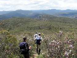
| Descending Corang Peak through round leaf tea tree Photo by Helen Click on thumbnail to enlarge photo |
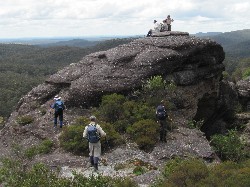
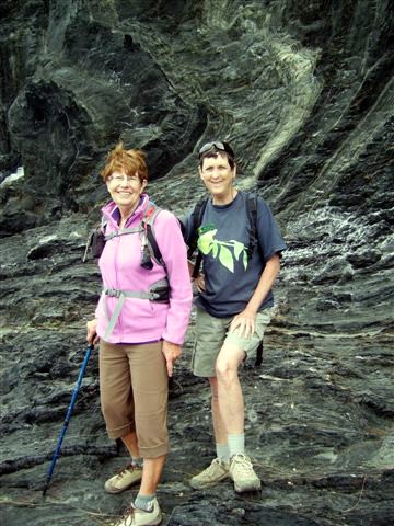
Pat and Mike on the steep path to the Arch Photo by Helen Click on thumbnail to enlarge photo |
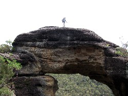
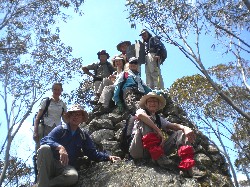
Group climbing Corang Arch Photo by Helen Click on thumbnail to enlarge photo |
 |
 |
 |
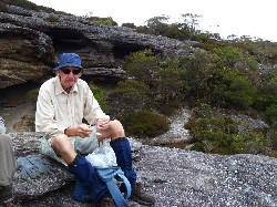
| Rodney Photo by Helen Click on thumbnail to enlarge photo |
Leader Ian on the Arch Photo by Pat Click on thumbnail to enlarge photo |
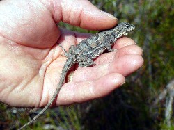
Hitchhiking Lizard Photo by Pat Click on thumbnail to enlarge photo |
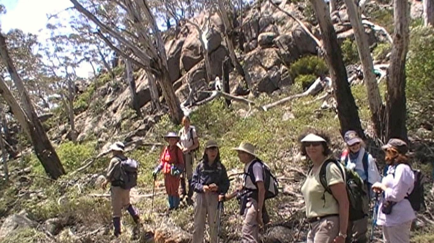
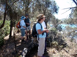
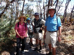
The group of nine walkers on Ian C's walk to Corang Arch in the Budawangs enjoyed their day's walk and felt they'd accomplished something by the end of 25 kilometres on Saturday.
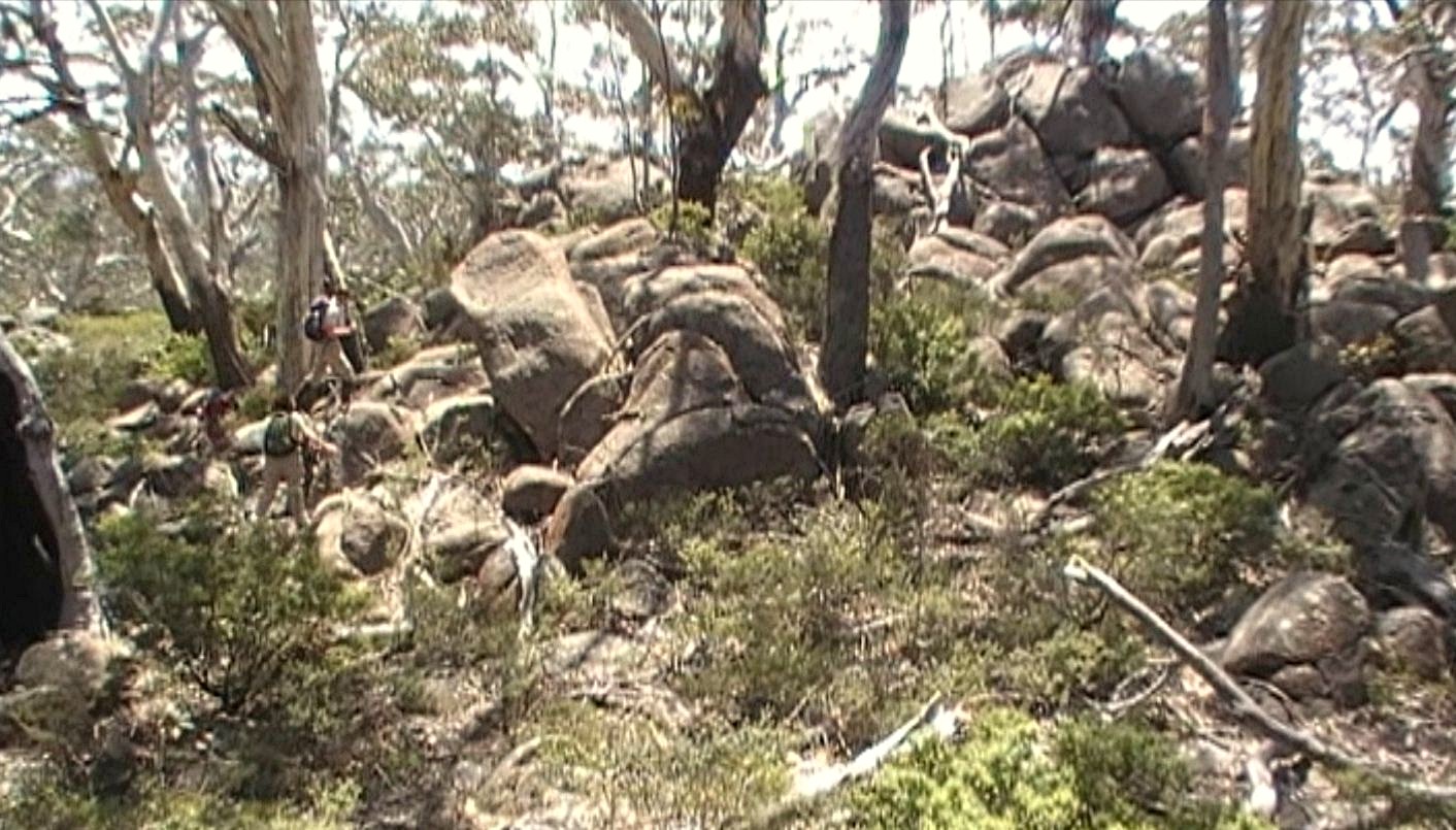
The bush was greeen and alive with many native shrubs in flower and it was lovely to see the walkers weaving their way through the head-high flowering tea-tree. Many low-growing natives were colourful (reds, blues, yellow and white), and lots of Banksia and Isopogons made a pretty splash of colour too. We also admired a little beautifully-marked lizard that was different to the ridge-backed one often seen.
Morning tea was had on top of a big rock outcrop and going up and over Corang Peak we had superb views of the Budawangs. The spectacular bluffs, cliffs, the Castle and associated mountains, are unique.
We ate lunch atop Corang Arch and admired the rocky cliff-line opposite us
on the Western side. This weekend it was good to see a school group, as well
as a few other groups also out and enjoying the Budawangs. However some of us
did not like hearing a series of gun shots to the south of us - and we hoped
they were not too close.
Pat
A Great Little Coast Walk
Wednesday 14 November 2012 2012
No report received
Tomaga River Catchment
Sunday 11 November 2012
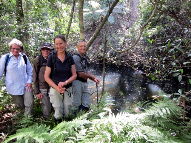 |
| Jane, Barry, Lynne and Mike Photo by Bob T Click on thumbnail to enlarge photo |
A small group of 7 bushwalkers and our leader Bob enjoyed a lively morning walk of 9 kms in the Tomaga River catchment area. After a short drive we commenced our walk from Mogo Hill descending from the ridge line along various bike trails wending their way through the dry sclerophyll forest down into the lush rainforest of the upper Tomaga River.
Walking along this fledgling stream through tree ferns and palms, we could hardly believe the pristine beauty of this area so close to civilization. Proceeding along this stream we spied various huge tree root formations in the eroded banks that one does not usually see, that were quite amazing
All too soon we reached our exit point returning up another spur to the ridge
and then to our vehicles and home for lunch. Great walk. Thanks Bob.
Lynne
Barlings Drive, Mogo State Forest
Thursday 8 November 2012
 |
 |
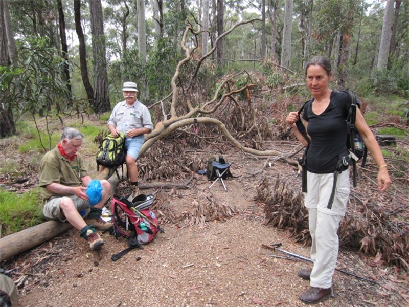
| Bob, Charles and Lynne Photo by Mary M Click on thumbnail to enlarge photo |
Visitors from Blue Mountains, Bob and Mary Photo by Mary M Click on thumbnail to enlarge photo |
Thursday’s walk commenced in the cul de sac at the top of Barlings Road near Tomakin. From here the eleven walkers, including four visitors from a Blue Mountains bushwalking club, took off downhill into the bush. Our leader had warned us to expect water over the tracks following the recent rain, and sure enough there were plenty of large puddles and muddy patches to negotiate. Of course all that water meant plenty of leeches, and it didn’t take them long to find us!
Thanks to a thorough reconnoitre, recording approx 15 waypoints on his GPS, our leader was able to keep us on the right track through what was a very complex network of trails in this area. The visitors from the Blue Mountains were quite impressed with the walk, and I think they were given enough good hills to keep their legs working hard.
With a start point less that 20 mins
from Batemans Bay, this walk proved once again that you don’t have to go far
to find a great walk!
Mary M
Sassafras to Yadboro (Budawangs) Camp
Monday 5 to Thursday 8 November 2012
 |
 |
 |
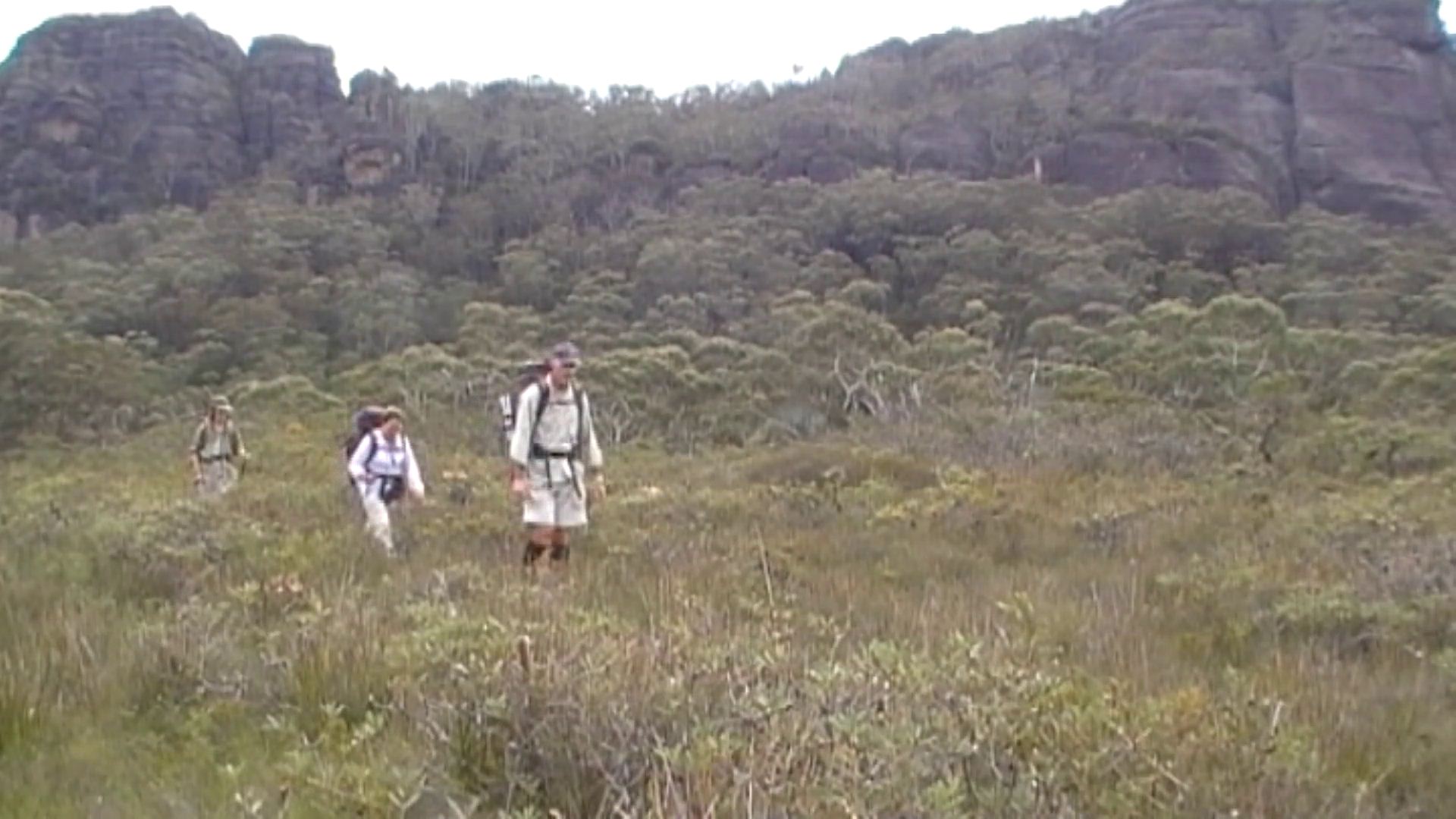
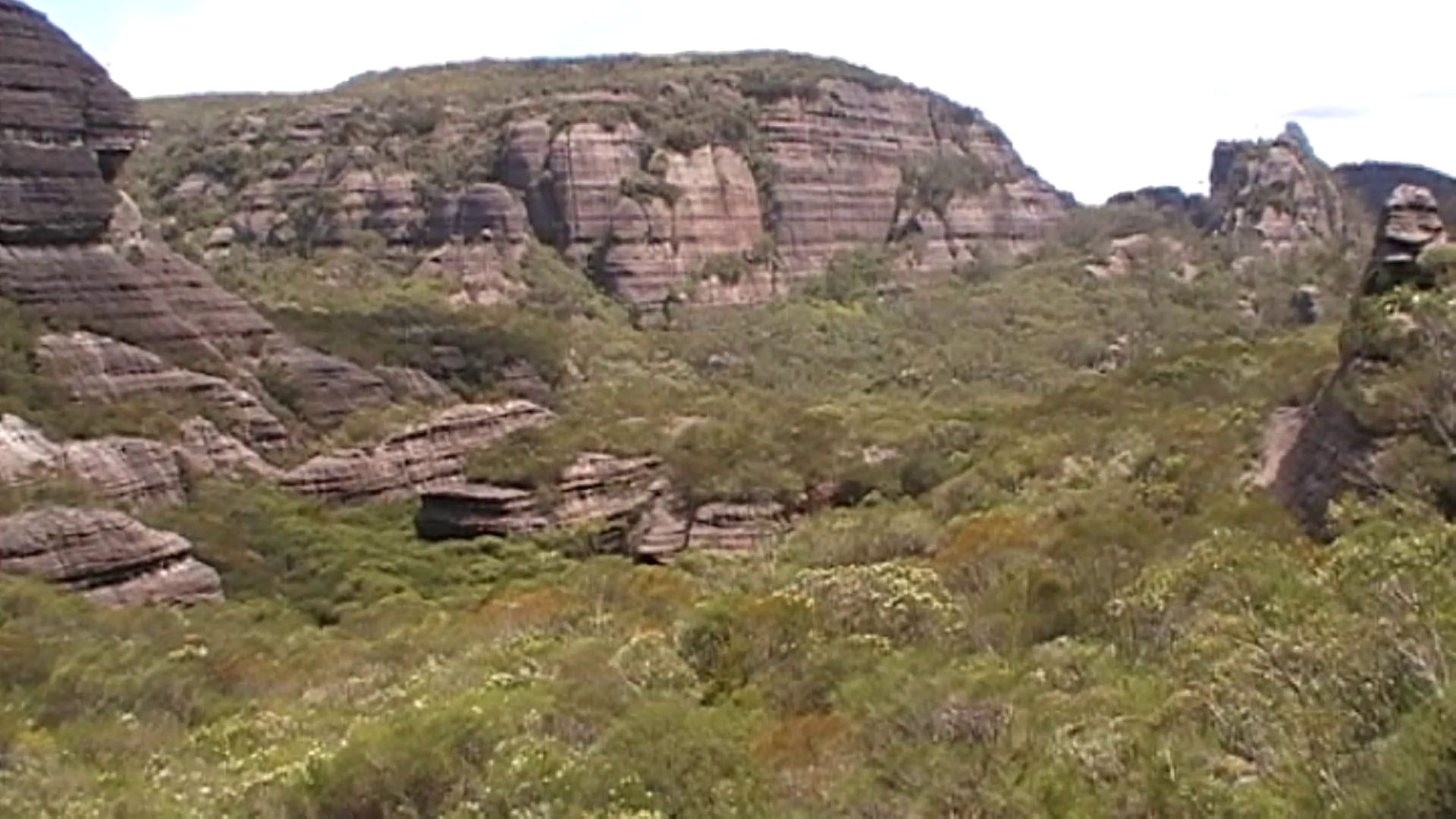
| Rudy, Wendy and Bronwyn traverse Styles Plain beneath the Pagoda Rocks Photo by Ian Click on thumbnail to enlarge photo |
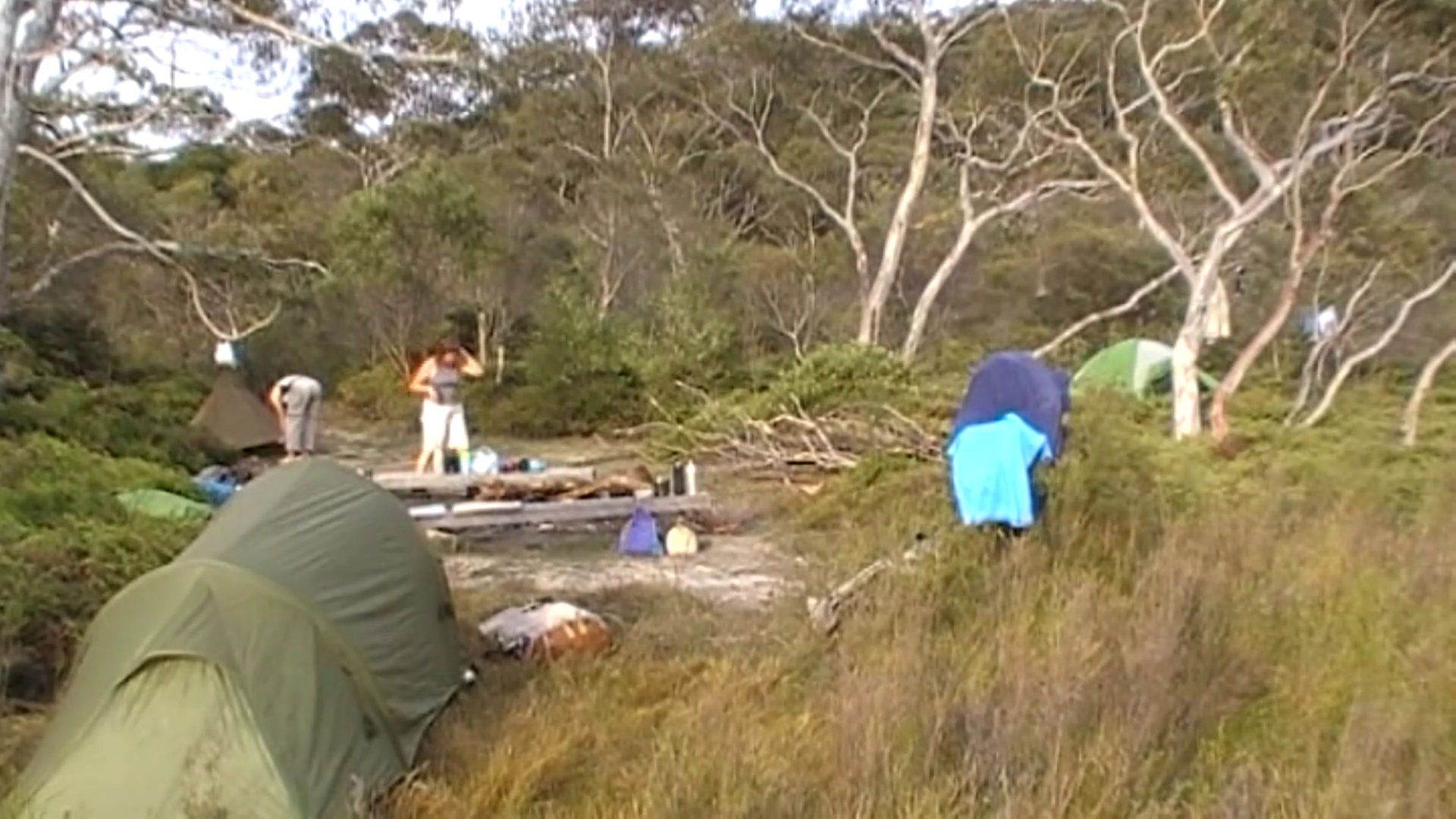
Styles Creek Camp Photo by Ian Click on thumbnail to enlarge photo |
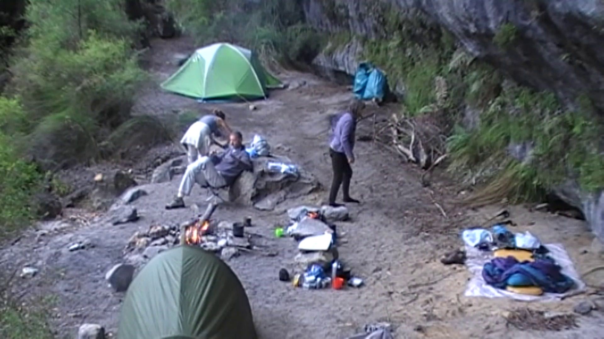
The comfortable Mt Cole Camping Cave Photo by Ian Click on thumbnail to enlarge photo |
Four Club members enjoyed this classic 30 km walking track, north to south, through the northern Budawangs wilderness over four days. Normally, three days would be needed but an inconvenient rain period kept us holed up for a day in a comfortable camping cave.
By starting early in the morning, we “zoned out” in the first kilometres of boring fire trail. Upon reaching The Vines the scenery changed and we enjoyed the tall forests which grow so well on this narrow area of Endrick basalt, the same as is found where we started at Sassafras.
We downed packs and sprinted up the Quilty’s Mountain track to view the Aboriginal stone ceremonial ground. The views to the south and east were grand. After lunch we made our way south along the old logging road through patches of rainforest and tall eucalypt forest to Style’s Plain. Our first night’s camp at this excellent camp site was punctuated only by bright stars and the calls of Boobook, and occasional Powerful Owls.
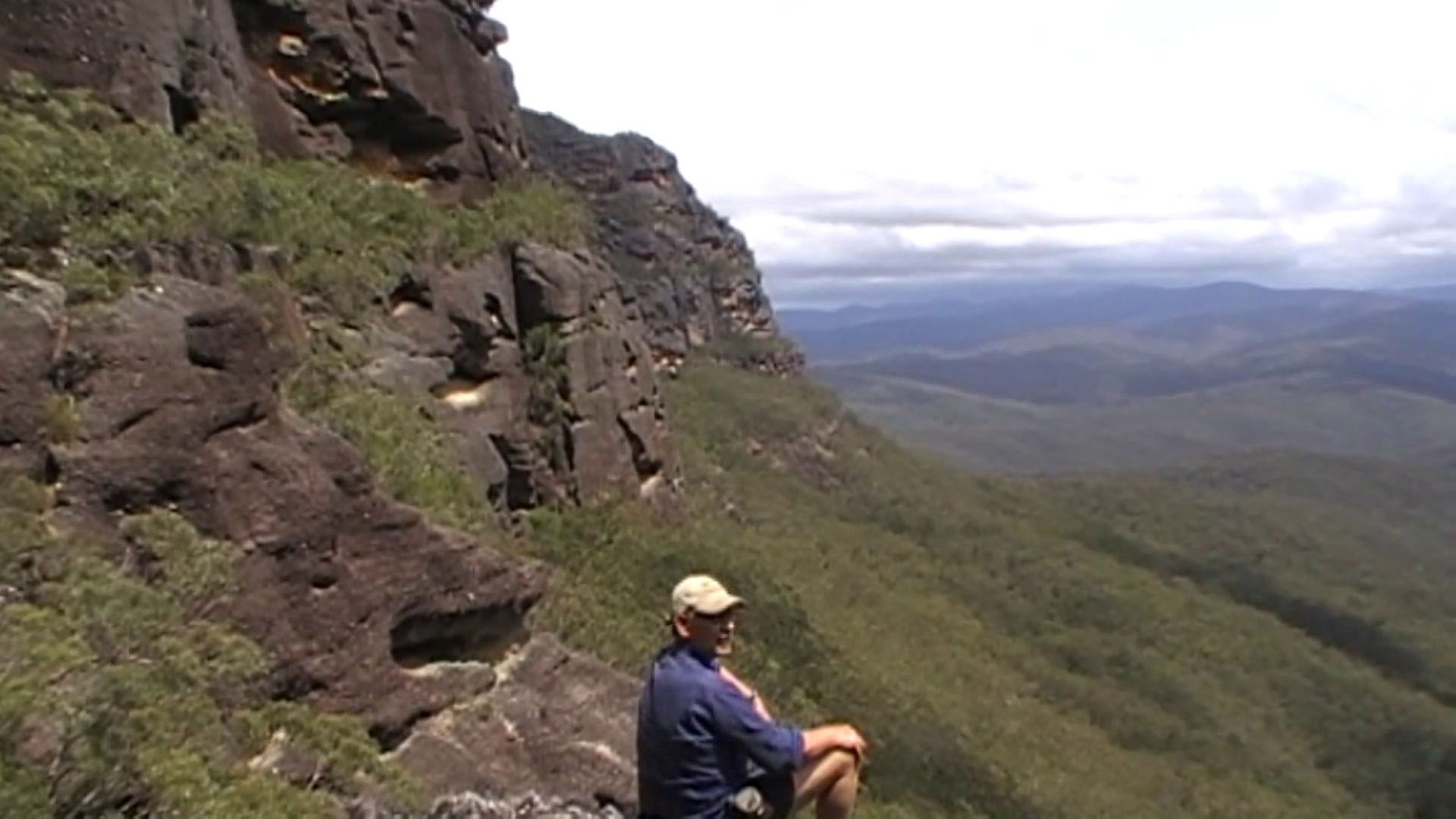
On the second day we followed the foot pads across the swamps, avoiding the worst of the wet areas, toward Mount Haughton. Following its eastern cliffline, we were surprised by the amount of water sources seeping below the overhangs (in contrast to the drying creeks and rivers of the area). After some navigational double checking we found the saddle leading to Mount Tarn. The track up and over this plateau was a little indistinct in places but we were soon down the other side. By mid afternoon we were on the long ridge down to the Bibbenluke junction with the track from Wog Wog and heading for the Mount Cole camping caves.
 |
 |
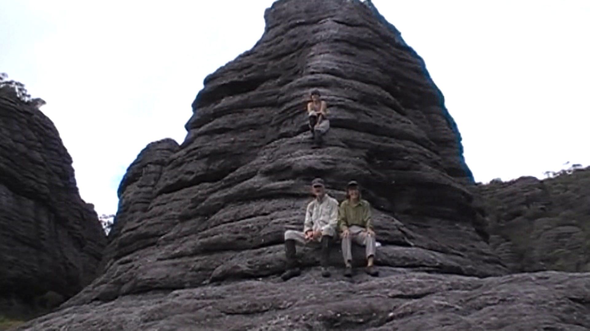 |
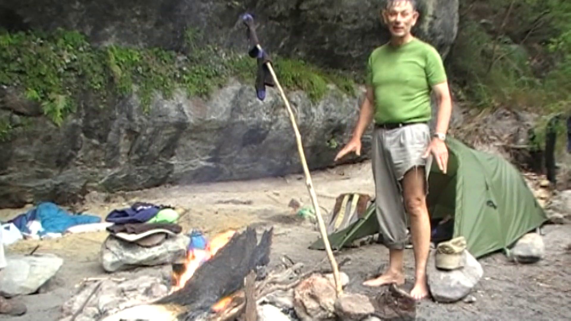
| Budawangs vegetation can be hard on clothing Photo by Ian Click on thumbnail to enlarge photo |
Eastern Monolith Valley Photo by Ian Click on thumbnail to enlarge photo |
Wendy, Rudy and Bronwyn rest on a God pinnacle in Monolith Valley Photo by Ian Click on thumbnail to enlarge photo |
Showery weather that night and next day restrained our explorations from here but in the afternoon we were able to venture into the wet. After some bush bashing we relocated the long lost Sunrise Cave before returning to camp to dry out. While the rain dribbled beside us we honed our card playing skills, drank lots of tea and some nursed very sensitive toes damaged during the previous two days.
On the final and fourth day we pushed on. The bush had dried, the sun came out and we enjoyed a very leisurely stroll out through the Monolith Valley. We had lots of time for admiring the magnificent rock formations and to climb some of the nearby vantage points. By the time we reached the Castle saddle the cloud had moved back in on the high peaks and we began our descent to Long Gully.
 |
 |
 |
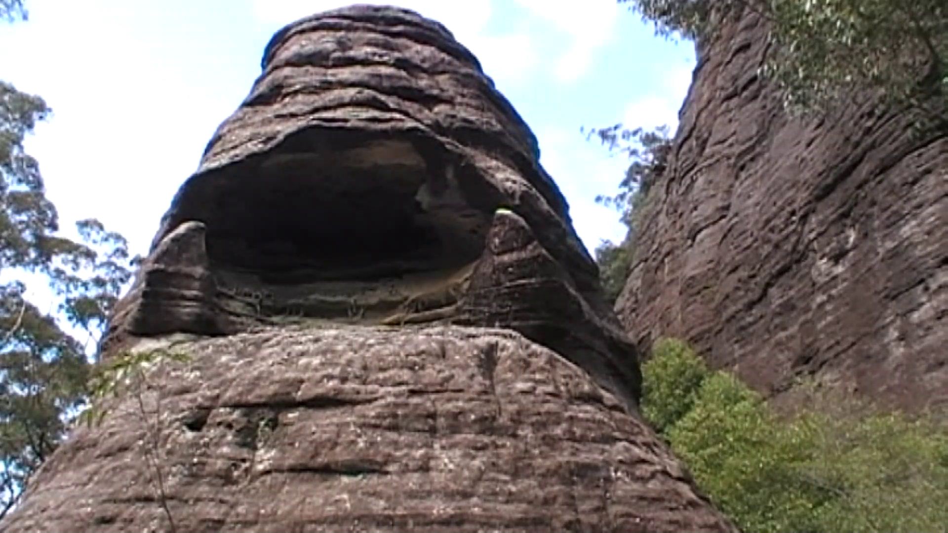
| Manta Cave in Monolith Valley Photo by Ian Click on thumbnail to enlarge photo |
Ian contemplates the descent to Long Gully Photo by Ian Click on thumbnail to enlarge photo |
Ian, Wendy, Rudy and Bronwyn celebrate arrival at Long Gully Photo by Ian Click on thumbnail to enlarge photo |
The Yadboro River was so low we were able to cross without taking off our
boots. After a cup of tea and a biscuit we were ready for home.
Ian
Murramarang National Park - North Head to Maloneys
Saturday 3 November 2012
 |
| Lesley and Heather Photo by Karen C Click on thumbnail to enlarge photo |
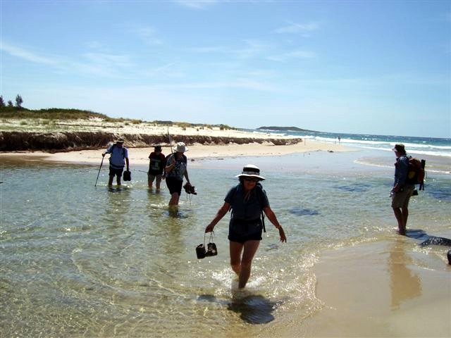
Murramarang National Park is one of the gems of the South Coast, and our walk on Saturday 3 November on a mild, slightly cloudy day, was enjoyed by 22 members of Batemans Bay Bushwalkers, with three visitors. This walk, ably led by Bob and Joan, was in the southern section and started at North Head. We walked on the sharp, jagged metamorphic rocks to the rock pool, then along the beach to clamber up on to the cliff top with a spectacular view of the Tollgate Islands, the distant Batemans Bay coastline, and just offshore to the yellow islands of Acheron Ledge.
We passed through the formerly private land with several cottages, now
resumed by the National Parks and used as holiday lettings. We viewed the
“canoe tree” which clearly shows the big scar from the aborigines removing a
section to make a canoe. On our return to North Head we saw the remains of a
midden, so the aborigines must have enjoyed this area as much as we did.
Ainslie
Boundary Fire Trail, Monga
Wednesday 31 October 2012 2012
No report received
Great Divide Explorations Car Camp No 2 - Crow Valley
Saturday & Sunday 27 & 28 October 2012
 |
 |
 |
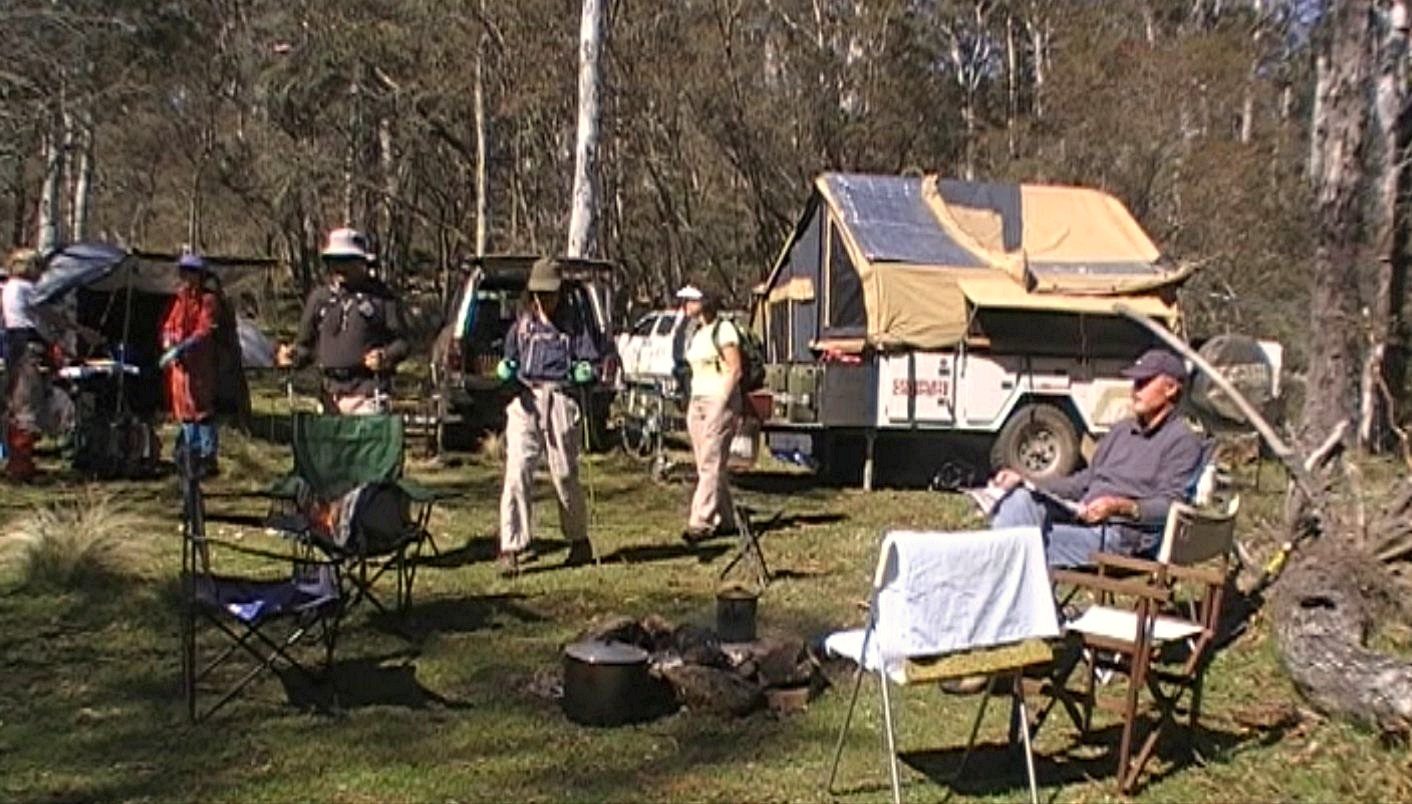
| Comfortable Crow Creek Valley Camp Photo by Ian Click on thumbnail to enlarge photo |
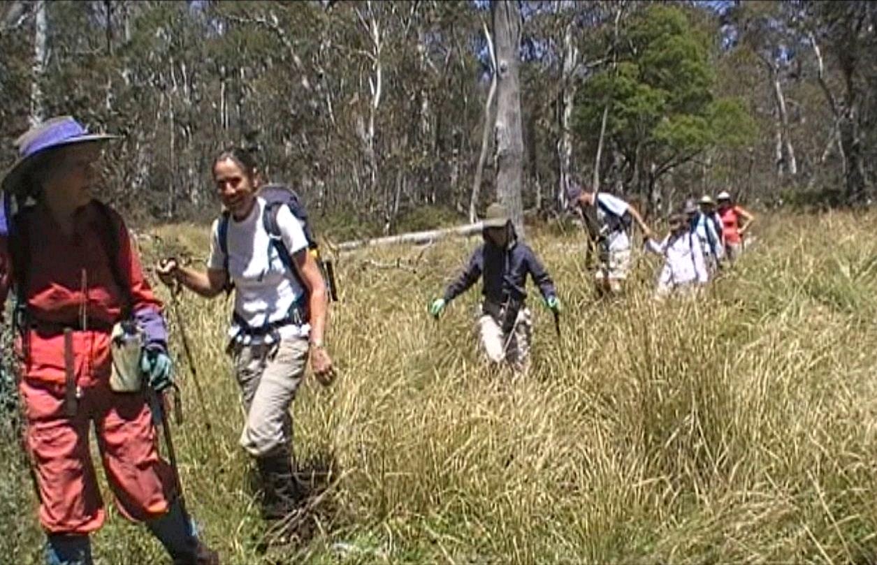
Keeping an eye out for snakes between snow gum forests Photo by Ian Click on thumbnail to enlarge photo |
Resting near Mount Tumanmang Photo by Ian Click on thumbnail to enlarge photo |
 |
 |
| Granite tors and white ash on Mount Tumanmang Photo by Ian Click on thumbnail to enlarge photo |
Lyn, Ian, Mike, Lin, Betty, Margaret and Bronwyn on Tumanmang Trig Photo by Wendy Click on thumbnail to enlarge photo |
The second of a series of Batemans Bay Bushwalking Club explorations along the Great Dividing Range between Bungendore and Countegany attracted 10 members. The weather was perfect – clear skies, little wind and cool temperatures - ideal for sprinting about the bush.
Using a comfortable base camp in the Crow Creek valley within Tallaganda State Forest and nestled under the Great Divide, two day walks were planned in areas not previously walked by the Club.
On the Saturday we strolled seven kilometres through the Crow Creek valley, a large and pleasantly undulating area of Snow and Mountain Gums with patches of wet, tussock plain. A few Herefords which had escaped from the nearby private property and a peacefully sleeping tiger snake were our only companions. An old stump with the remains of a surveyor’s blaze prompted a discussion on how property tenure boundaries were originally marked and methods of how to search for them many years later.
The start of a chilly night was rebuffed with an adequately comforting campfire and a bewildering variety of eats and drinks.
Sunday’s walk: The morning muscle stiffness was soon broken by a stiff 300 metre vertical lift eastward out of camp to the top of the Great Divide. But we had lots of time so, after checking out a well hidden fire dam constructed adjacent to the fire trail, we bush bashed our way toward rocky outcroppings visible and interesting on aerial photos.
At the first large boulder outcrop we soon had our first extensive view to the west toward the snow capped Australian Alps. Moving on through patches of flower laden heath, lunch was enjoyed on the granitic rocky tor of Tumanmang Trig and then followed by the obligatory victorious group photo.
Striking back west toward the Range, we first descended through two aplite dykes where the intrusive granite met the vertical metamorphosed sediments of the west. We then entered a picturesque area of large granite tors and White Ash having no understory to block our views and progress. Back on the Range, Bald Peak offered no views but a large hidden boulder below provided the platform for lovely views into the Crow Creek valley and beyond. We then descended steeply to camp before departing via the interesting South Forest Way through Tallaganda State Forest. A brief inspection of the isolated and historic 1957 Pinus radiata seed orchard completed the weekend.
Apart from walking and exploring, the weekend was also a good chance to
brush up on our tablelands tree species – Snow Gum, Black Sallee, Mountain Gum,
Narrow Leaved Peppermint, Brown Barrell, Shining Gum, Silvertop Ash and White Ash.
Ian
Deep Creek Dam Area
Sunday 28 October 2012
 |
 |
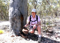 |
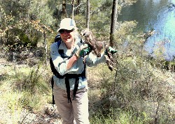
| Sharon with remains of swamp wallaby Photo by Karen M Click on thumbnail to enlarge photo |
Sharon, Heather and Rodney Photo by Karen M Click on thumbnail to enlarge photo |
Heather's camp kitchen Photo by Karen M Click on thumbnail to enlarge photo |
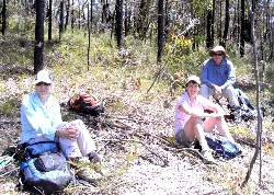
7 Batemans Bay Bushwalkers joined leader Sharon on Sunday for a 10 kilometre medium grade walk beside Deep Creek Dam in the Mogo State Forest. After welcoming new member Tim, we headed off into the bush, pausing for morning tea on the banks of dam. It was a lovely spot to enjoy the water views and watch the antics of the black swans securing their mating territory.
Then we bushbashed our way along the shore towards the dam wall. On the way Sharon found the mummified remains of a swamp wallaby, still reasonably intact. Again we stopped for lunch on the edge of the water, sitting amongst a sprinkling of fringed lillies.
We then walked as far as the spillway and headed uphill and back to the cars.
Karen M
Dalmeny to Kianga, Tracks and Trails
Thursday 25 October 2012 2012
Cancelled due to hot weather.
Big Tree Circuit Behind Richmond Beach
Saturday 20 October 2012
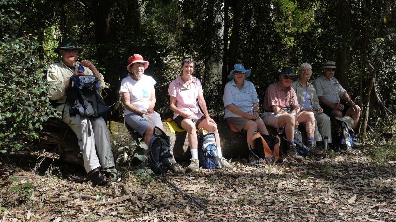 |
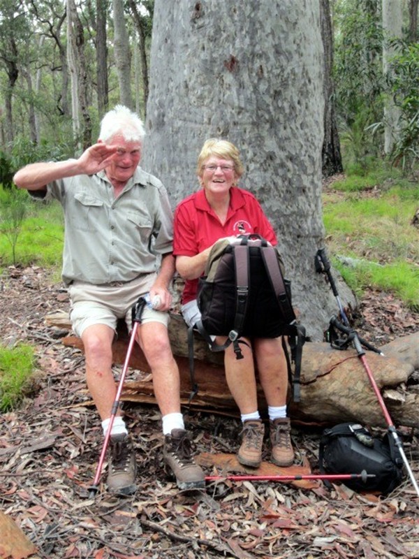
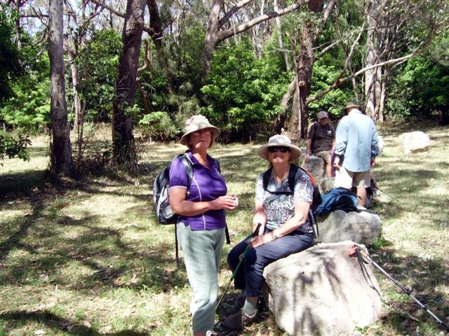
| Some of the group at morning tea Photo by Rodney Click on thumbnail to enlarge photo |
Saturday's 8km walk led by Karen M followed a circuit in Murramarang National Park between North Head Road and Richmond Beach. 14 walkers rested by a huge spotted gum at our morning tea stop, and then enjoyed the views and the breeze at Richmond Beach for lunch.
The track back to the cars was tricky to negotiate after heavy winds and
rain had obliterated it for a few hundred metres, but fortunately it wasn't
long before we found it again heading up the spur back to the ridge, and where
our cars were parked.
Karen M
Bush to Kioloa Beach via ANU Research Centre
Wednesday 17 October 2012
 |
 |
 |
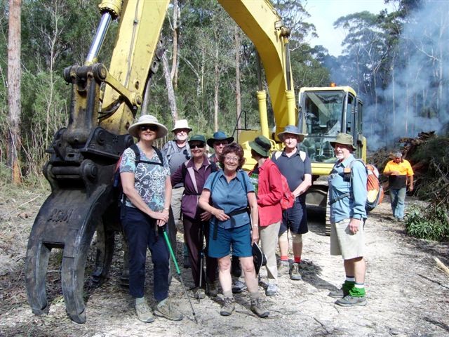
| Clearing the fire trail Photo by Karen C Click on thumbnail to enlarge photo |
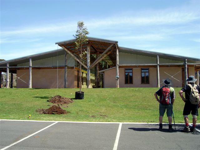
New ANU Research Facility Photo by Karen C Click on thumbnail to enlarge photo |
Karen and Karen behind Kioloa Beach Photo by Karen C Click on thumbnail to enlarge photo |
 |
| A sparkling day at Kioloa Beach Photo by Karen C Click on thumbnail to enlarge photo |
Wednesday's 15km walk was led by Karen C who joined 11 other members for an undulating circuit in the forest between Princes Highway and Kioloa Beach, north of Batemans Bay.
Just down the track we came across a huge digger and piles of burning vegetation where the previously overgrown firetrail was being cleared for the summer. We kept ourselves amused at morning tea by sprinkling salt on any leech brave enough to come near.
This was a new walk put together by Karen C, and to get to the coast she obtained permission from the Australian National University to walk through the grounds of its Kioloa Campus. They have built a huge new multipurpose hall of straw bale construction there - quite an interesting design.
From the ridge above the beach we stopped to watch a couple of whales breaching just
offshore, and then we descended to Kioloa Beach, where we stopped for lunch and to enjoy
the sparkling day, before making our way back through the forest to the cars.
Karen M
Diamond Creek and Falls
Saturday 14 October 2012
 |
 |
 |
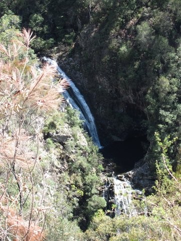
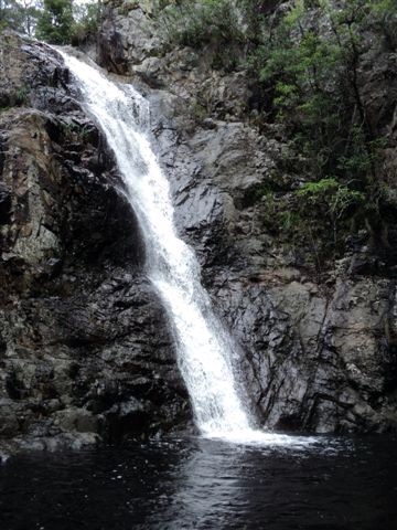
| Diamond Falls 4 Photo by Helen Click on thumbnail to enlarge photo |
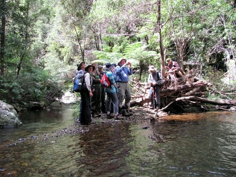
Len with the group Photo by Helen Click on thumbnail to enlarge photo |
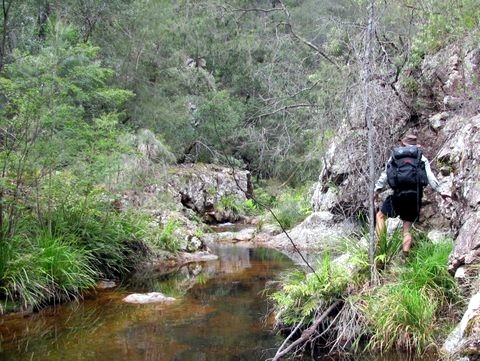
Martin looks for a way through Photo by Helen Click on thumbnail to enlarge photo |
 |
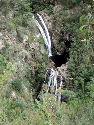 |
| Diamond Falls 3 Taken on exploratory in February by Bob T Click on thumbnail to enlarge photo |
Diamond Falls 4 Taken on exploratory in February by Bob T Click on thumbnail to enlarge photo |
Thirteen bushwalkers embarked on a full day of adventure at Diamond Creek in the Deua National Park in pursuit of four waterfalls in perfect sunny weather after heavy rain.
It began with a challenging 4 WD trip in some very steep terrain on Coondella Road. It was not a "walk" for the faint-hearted, but the rewards of being at the falls and being in beautiful bush were worth all the rock-scrambling, bush-bashing, creek crossings, trips, falls, slips and (of course) leeches!
Beginning downstream at the lovely high waterfall four, we worked our way up the creek to waterfall three in a cleft in the valley. Here, most of us perched on precipitous cliffs for lunch overlooking these falls and watched the antics of the most energetic of the group exploring the pools and rocks below. It was a beautiful spot enhanced with many flowering rock orchids.
However, it became a "waterfall too far" as waterfall two eluded us. Despite
scrambling across and by the creek, or swimming in the creek, or climbing up the
ridge behind the creek, we found no sign of the falls. Having split up, our
priority became to all meet up again and as this took time, pretty waterfall
one was missed by most of us. Len's rope remains anchored there, awaiting our
return!
Helen
Meroo and Willinga Lakes
Thursday 11 October 2012 2012
Cancelled due to rain.
Wamban Fire Trails - North
Saturday 6 October 2012 2012
Cancelled due to rain. To be rescheduled in the cooler months of 2013
Cliffs and Beaches - Tomakin and Guerilla Bay
Wednesday 3 October 2012
 |
 |
| Bev, Cliff, Trish and Jan Photo by Carol Click on thumbnail to enlarge photo |
Jean, Bev, Cliff and Laurie Photo by Carol Click on thumbnail to enlarge photo |
On 3rd October Trish led an Easy/Medium walk from Melville Point to the lighthouse at Burrewarra Point. The walk encompassed some of the most beautiful local coastal scenery. Morning tea was at the end of Barlings Beach before the climb up to LongNose Point with its spectacular views . It continued along the foreshore and through The Burrawangs to Frank’s Beach. The track then climbed up to the coastal path to Guerilla Bay for lunch. Walkers continued along this track to the lighthouse and then returned by the inland path to the car park.
Thirteen walkers enjoyed the splendid scenery, the only regret being that no
whales were sighted. The weather could not have been more perfect. This was
walking at its best.
Trish