Blue Mountains Camp 2013
Monday 9 - Saturday 14 September 2013
Led by Ainslie and Mike
Words by Ann, Pat, Helen, Kay, Ainslie
Photos by Helen, Mike, Donna, Kay
Camp Leaders have to be a hardy lot - it's not easy to herd a bunch of Batemans Bay Bushwalkers around the Blue Mountains without a few dramas. Ainslie and Mike had to contend with a variety of scenarios, from participants and walk leaders having to drop out, to car breakdowns on the journey to Blackheath, to high winds and damaged tents. Not to mention having to cater for walkers with a myriad of expectations and levels of bushwalking fitness. Personally I'd go mad. I think Ainslie and Mike are still sane - just...... Ed.
Day 1 and three walks were on offer.
Easy 8km from Govett's Leap to Evans Lookout which runs along the edge of the escarpment with views down into the Grose Valley.
Easy/Medium 5.5km Grand Canyon Circuit. Following report by Ann.
Nine bushwalkers drove to the start of the walk at Neats Glen to start one of
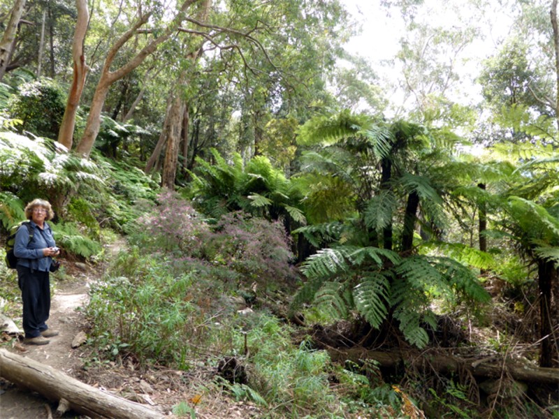
the loveliest walks. We descended 350 metres walking past, through and under,
rock outcroppings, narrow paths and creeks, all very picturesque with masses of
ferns of all types growing in the cracks in the rocks.
As we descended we walked down paths that had doors across the track, which
we presumed National Parks closed to stop walkers if floods or disasters occurred.
We all thanked Leaders Ainslie and Mike at lunch time for a truly fabulous
walk as we thought we may not feel like thanking them after walking back up 987
steps to the cars.
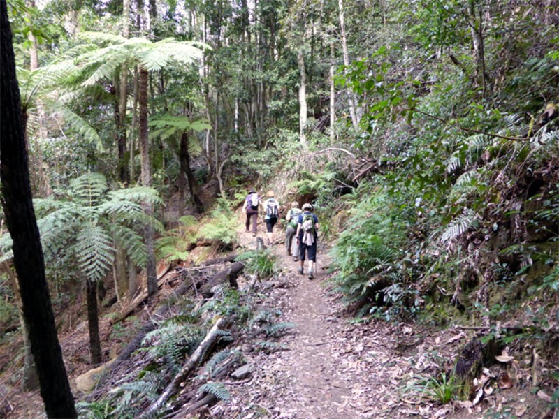
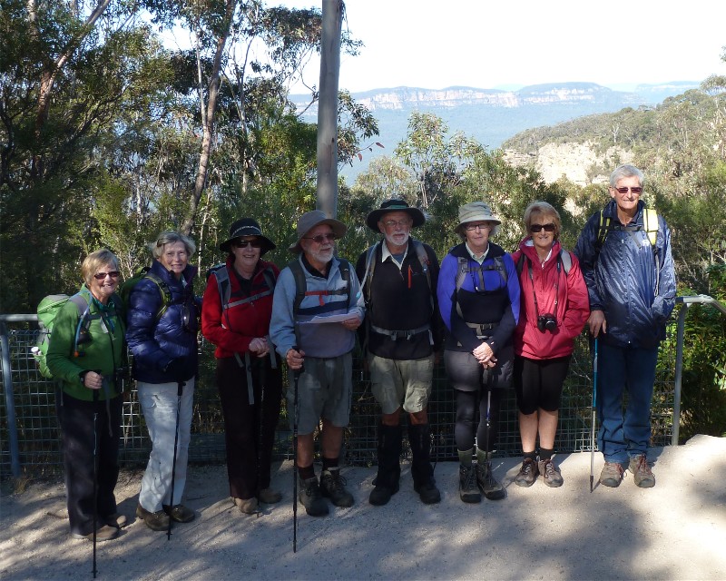
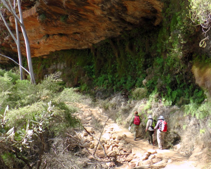
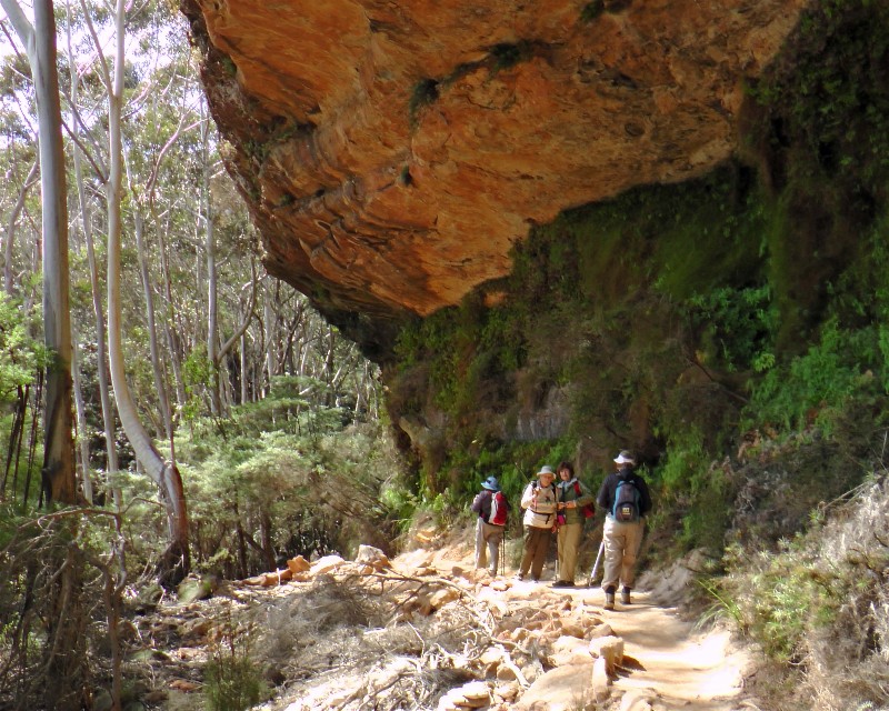
Hard 14.4km Furber's Steps, Federal Pass, Ruined Castle. Following report by Pat.
9 walkers led by Pat set out at a cracking pace to complete this challenging walk.
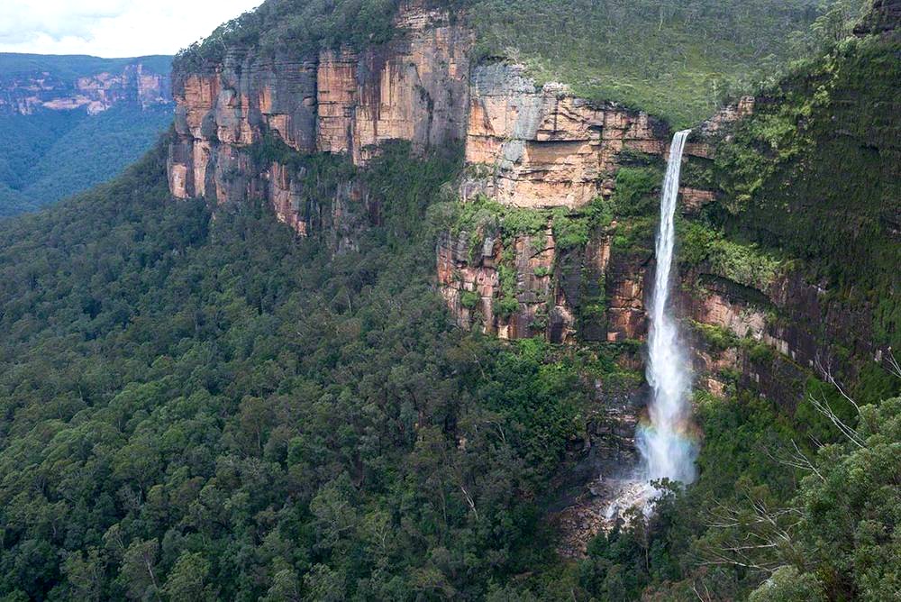
Highlights were the waterfalls, views and sandstone rock cliffs as we descended
the Furber Steps; the historic Katoomba coalmines; the variety of bush along the
Federal Pass track including many beautiful flowering native shrubs, orchids and
birds along the way.
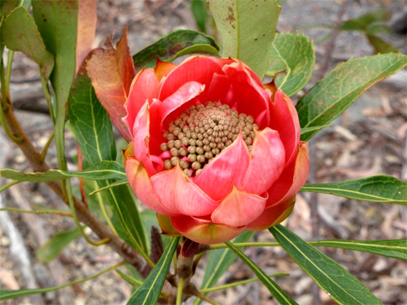
Lunch was eaten at the Ruined Castle, and its Waratahs were out in bloom and
very pretty. A slippery dusty descent marked the start of our return back to the Scenic Railway.
It was a beautiful walk which we all really enjoyed.
 |
 |
 |
| Leader Pat Click on thumbnail to enlarge photo |
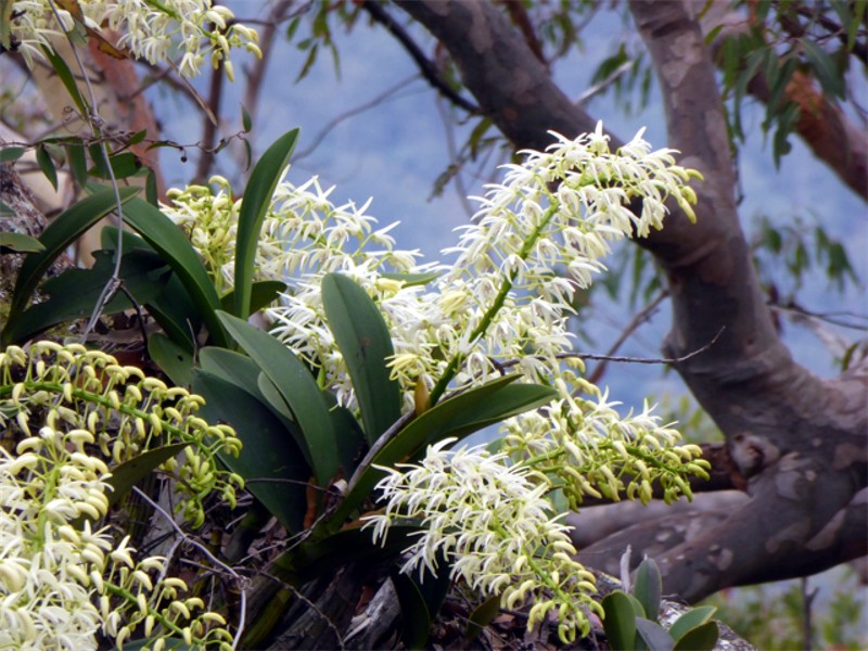
Rock orchids Click on thumbnail to enlarge photo |
Waratah bud Click on thumbnail to enlarge photo |
 |
 |
 |
| Federal Pass track Click on thumbnail to enlarge photo |
Deep in the Jamison Valley Click on thumbnail to enlarge photo |
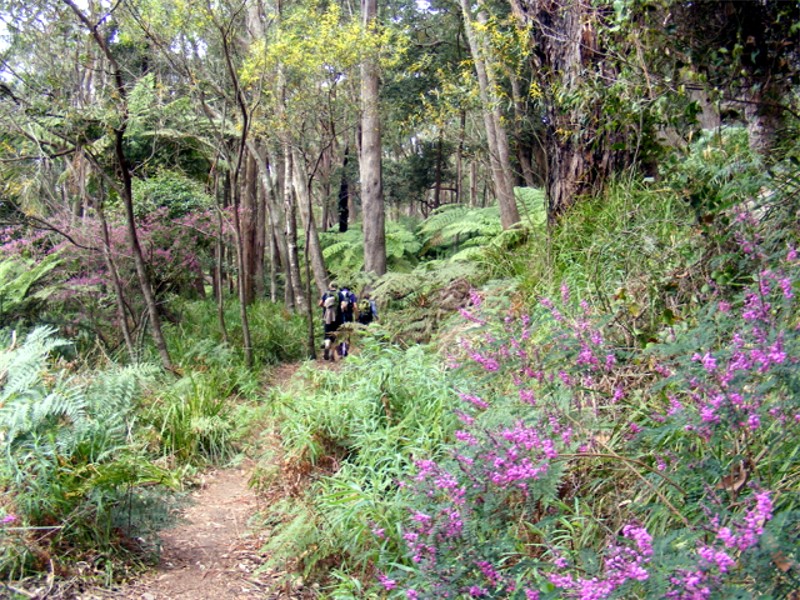
Wattle and Indigophera Click on thumbnail to enlarge photo |
Day 2 and with forecast strong, hot winds, the Lay Day was brought forward.
Day 3 and again three walks were on offer.
Easy 6.2km Wentworth Falls, Charles Darwin Trail which follows Jamison Creek to the cliff's edge for views over the valley.
Easy/Medium 7km Scenic World to Three Sisters, Echo Point and return
via Federal Pass. Following report by Helen.
Our walk started in Katoomba along the Prince Henry Cliff Top with
spectacular views of the Jamison Valley, Orphan Rock, Narrow Neck and Mt
Solitary and also looking out at the tourists viewing the scenery from the
Scenic Skyway. We were rewarded with morning tea at Echo Point overlooking
the Three Sisters before heading down to the Bridge crossing over to the
First Sister and Honeymoon Cave before heading down the steep descent of the
Giant Stairway, all 910 steps and 32 steel staircases, many of almost
vertical descent, then finishing at Lady Game Lookout where we were all
somewhat relieved to eventually meet up with the Dardanelles Pass.
We were treated to some wonderful vistas of tall tree ferns, sheltered
forest, majestic Turpentines, wildflowers clinging to crevices in the rock
faces before stopping for lunch, sharing our crumbs with a very friendly
Currawong. We were entertained by many bird calls and replies by our
intrepid leader Mike.
Refreshed by our lunch break we headed off towards the sound of water
flowing down the Katoomba Falls, witnessing some large landslides which had
damaged much of the track and railings. The forest thickened as we
approached the Walkway where we were treated to some very informative
information about the history of the area, the coal mining, the incline
(Scenic Railway) being built in early 1880's to convery coal to the cliff
top, also the role of the pit ponies.
The Old Scenic Railway has now been replaced by the modern Scenic Railway, the
steepest passenger train in the world. Needless to say we all elected to
travel the 52 degree incline! Wow what a day!
 |
 |
| Helen and Sarah Click on thumbnail to enlarge photo |
Going down Click on thumbnail to enlarge photo |
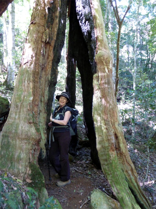
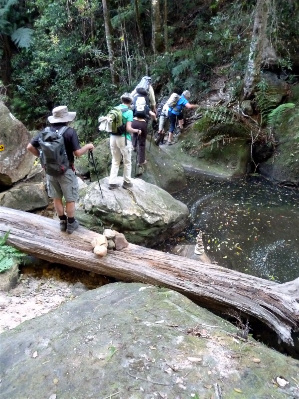
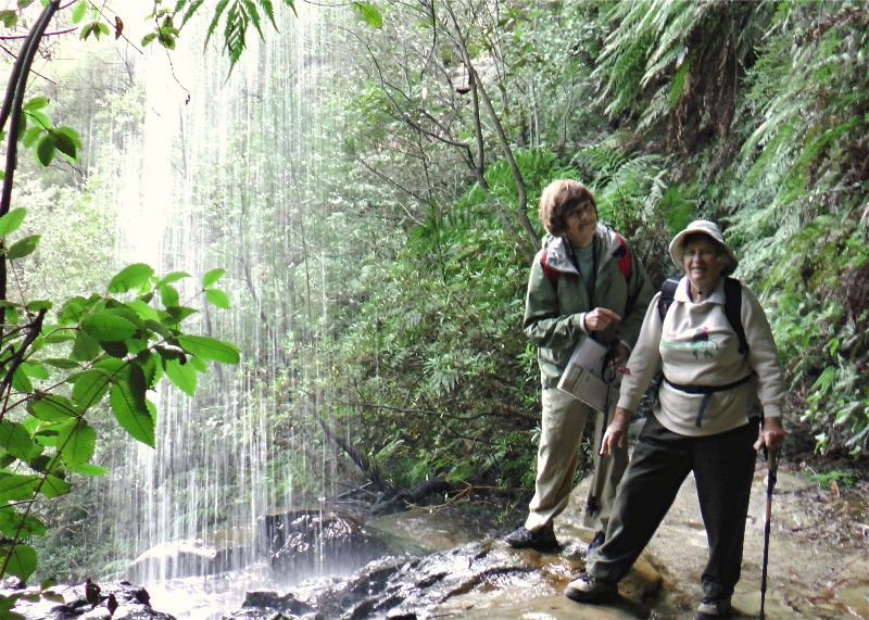
Hard 7.5km Wentworth, Hippocrene and Vera Falls. This walk is described as a partly
overgrown and largely forgotten old walk which wanders along the
valley floor, following the creek until heading back up the Valley of the Waters.
Sandstone stairs, waterfalls, leaf-covered tracks and a sense of solitude make for
a challenging but inspiring day.
 |
 |
 |
| Kay, Susan, Elizabeth, Geoff, Stan, Mary, Lorelle, John Click on thumbnail to enlarge photo |
Elizabeth Click on thumbnail to enlarge photo |
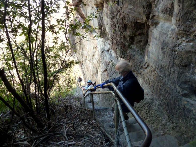
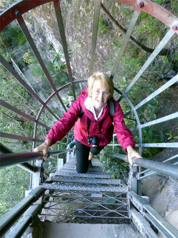
Lorelle on ladder to Empress Lookout Click on thumbnail to enlarge photo |
 |
 |
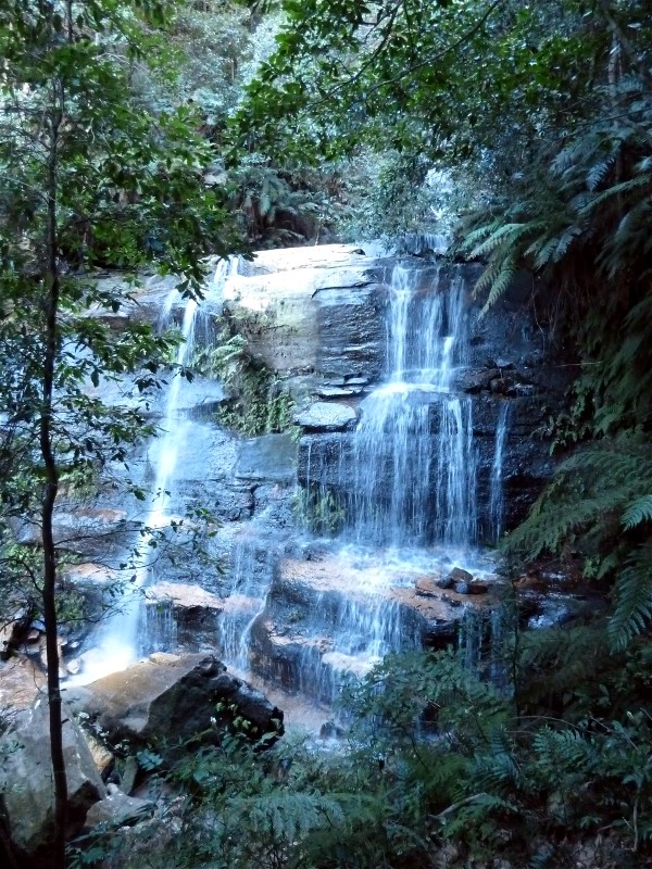 |
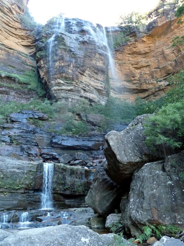
| Hippocrene Falls Click on thumbnail to enlarge photo |
Tricky creek crossing Click on thumbnail to enlarge photo |
Vera Falls Click on thumbnail to enlarge photo |
Day 4 and a choice of three walks again.
Easy 8km Leura Cascades to Echo Point return which follows the clifftops to combine great views, plenty of sitting spots, rainforest gullies and a variety of vegetation.
Easy/Medium 8km Pulpit Rock, Boyds Beach, Govetts Leap and return which is another clifftop track along the escarpment offering continuous views of the Grose Valley.
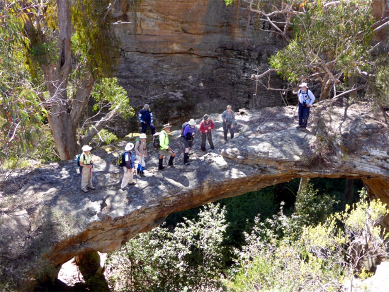
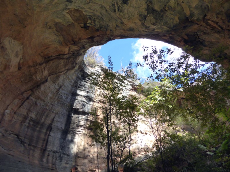
Medium A combination of 3 separate walks which are all off the regular tourist tracks and were led by Ainslie and Mike's friend Jim.
The walk to Dargan's Arch is not very far from Bell, and visits a magnificent natural sandstone feature.
 |
 |
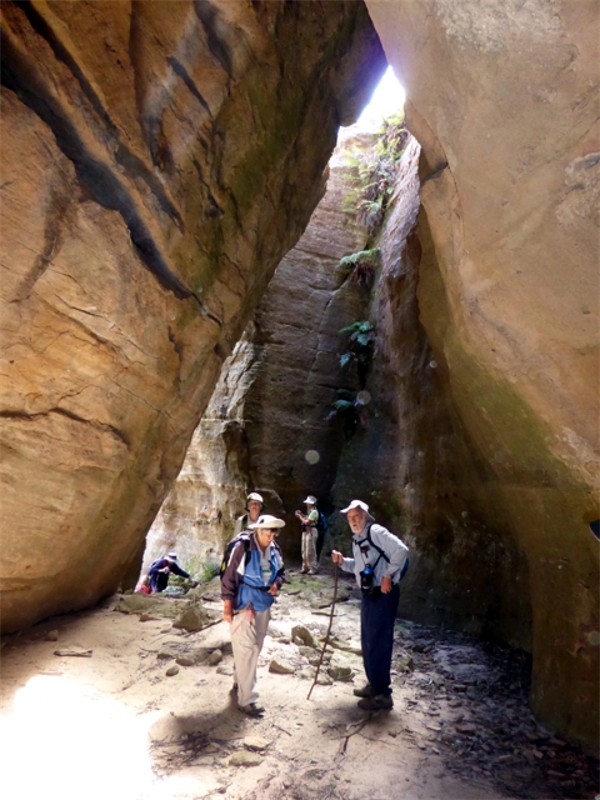 |
| On top of Dargans Arch Click on thumbnail to enlarge photo |
Cave skylight Click on thumbnail to enlarge photo |
Ainslie and Jim Click on thumbnail to enlarge photo |
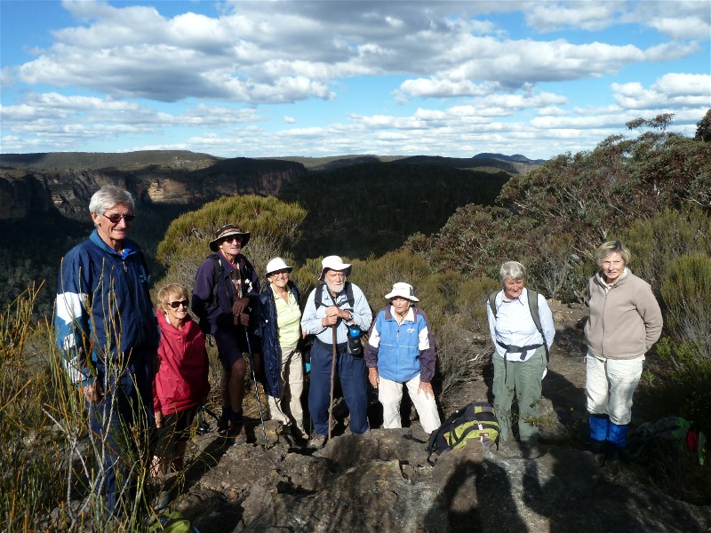
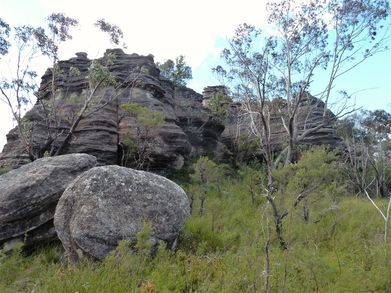
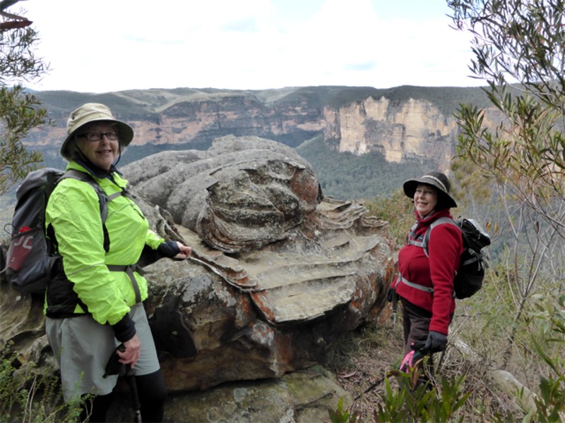
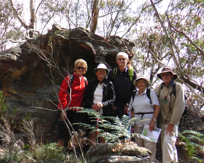
Ikara Ridge to Ikara Head off the Victoria Falls Road. This second walk for
the day, also led by Jim, was another walk of wonder. It was a medium walk of
about 8 kilometres. This area is well known for its floral displays, which,
although not at their peak at the time of our visit, still presented us with
some flowering species not commonly seen on our regular walks.
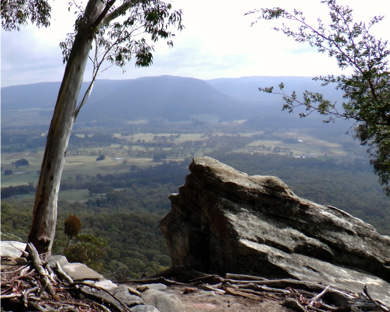
We stopped for lunch on a rocky outcrop, where we huddled in little nooks to try
to gain protection from a cool wind that had sprung up. After lunch we proceeded
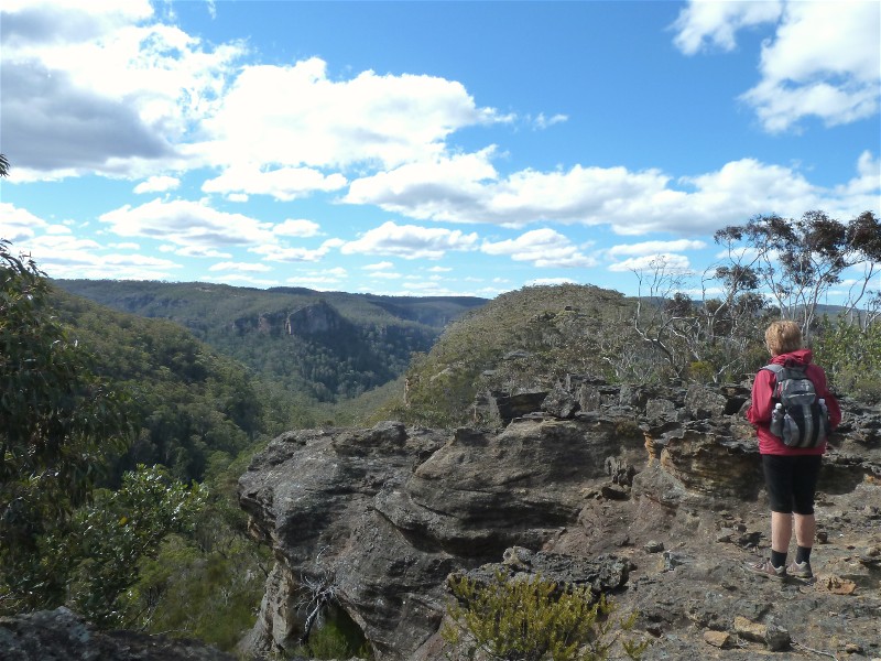
a more protected part of the track, out to Ikara Head with its impressive views
into the Grose Gorge.
It was wonderful to have such an energetic leader with so much local knowledge
and a willingness to share it.....Kay
 |
 |
 |
| Some of the group with Jim Click on thumbnail to enlarge photo |
Wonderful rock formations Click on thumbnail to enlarge photo |
Ikara Head Click on thumbnail to enlarge photo |
Jim's third walk was along the Asgard Swamp track to Thor Head, again off the Victoria Falls Road.
Day 5 and a choice of three more walks.
Easy 3km Leura Cascades to Gordon Falls and return offers cool, fern filled gulllies, pockets of rainforest and a series of lookouts over the Jamison valley.
Easy/Medium 5.5 km Porters Pass Circuit. Following report by Ainslie.
Friday 13th was a lucky day as this was the most varied and scenic walk our
group of medium walkers had done during the camp. Joan followed the walk description
from BLUE MOUNTAINS BEST BUSHWALKS closely, as there were many track turnoffs.
We dropped down a gully to Walls Ledge and down past a waterfall, we got onto
Colliers Causeway. We were delighted with the ferns, sundews and little white
flowers clinging to the cliff on our right, and the views over Kanimbla Valley
to our left. Here we met a little girl in her fairy skirt, with mother and a
friend all set to do some rock-climbing – aren’t modern mothers wonderful?
After climbing down steps cut into the cliff above a curving apricot coloured
rock swept by a small cascade, we scrambled over some boulders, and soon after
climbed Porters Pass to a rocky lookout for lunch. Here a couple from our group
peeled off to return the one and a half kilometres to Blackheath station, while
the remaining three walked back down and up Centennial Glen to our car.
 |
 |
 |
| Walls Ledge Click on thumbnail to enlarge photo |
Walls Ledge Click on thumbnail to enlarge photo |
Joan and Ainslie Click on thumbnail to enlarge photo |
Medium/Hard 9.3km Grand Canyon Circuit and Extension
 |
| Mary and Elizabeth Click on thumbnail to enlarge photo |
Day 6 - 2 walks.
Easy Scenic Railway, Boardwalk, Gondola.
Medium 9km Cox's Descent and Lockyer's Pass.
 |
 |
| Looking over Hartley Vale Click on thumbnail to enlarge photo |
Lorelle, Irene, John, Ainslie and Mike Click on thumbnail to enlarge photo |
END